


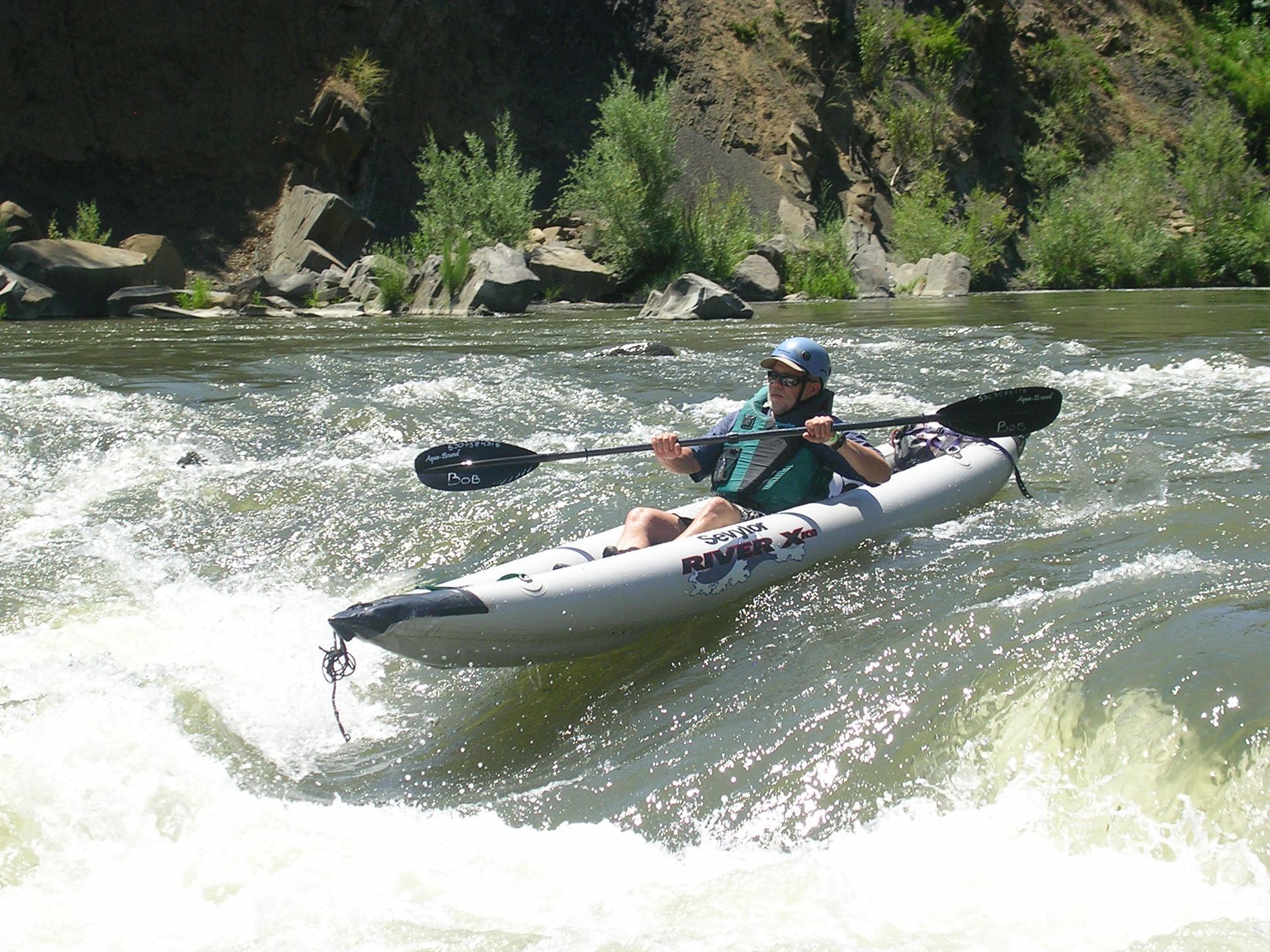
Wilderness Run on Cache Creek
Available here is a map of the Wilderness Run on Cache Creek. The map shows the location of rapids that are significant or that typically cause problems for beginning paddlers. A brief description for each rapid includes a suggested best route through the drop.
Note: there are many rapids on the Wilderness Run that are not marked on the map.
The map and descriptions are in two formats.
Map and Description Format
The first format has the entire map on one page and the descriptions on another page. The two pages can be placed back to back inside a waterproof bag (such as a large Ziploc) to carry on deck while paddling. These are available at:
Wilderness Run Map
Wilderness Run Descriptions
The map should be printed in Landscape mode and shrunk to fit on one page.
Split Map Format
The second format splits the map into two sections with the associated descriptions on the same page. This format works well for an overnight with camping at the Campsite Rapid. These two maps are at:
Wilderness Run Map #1
Wilderness Run Map #2
For both maps, select Portrait for the paper orientation. And also Shrink to Fit or something similar to make the map fit on one page.
Info
The waypoints for the drops on the map are available in a KMZ file.
Further information about the Wilderness Run is available online at American Whitewater.