By Bryan Pride
•
April 4, 2025
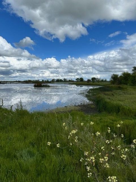
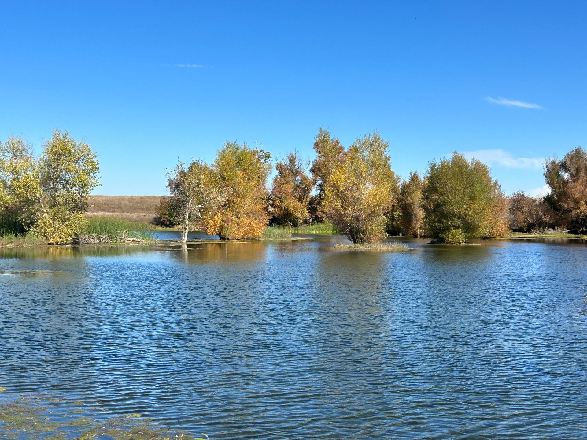
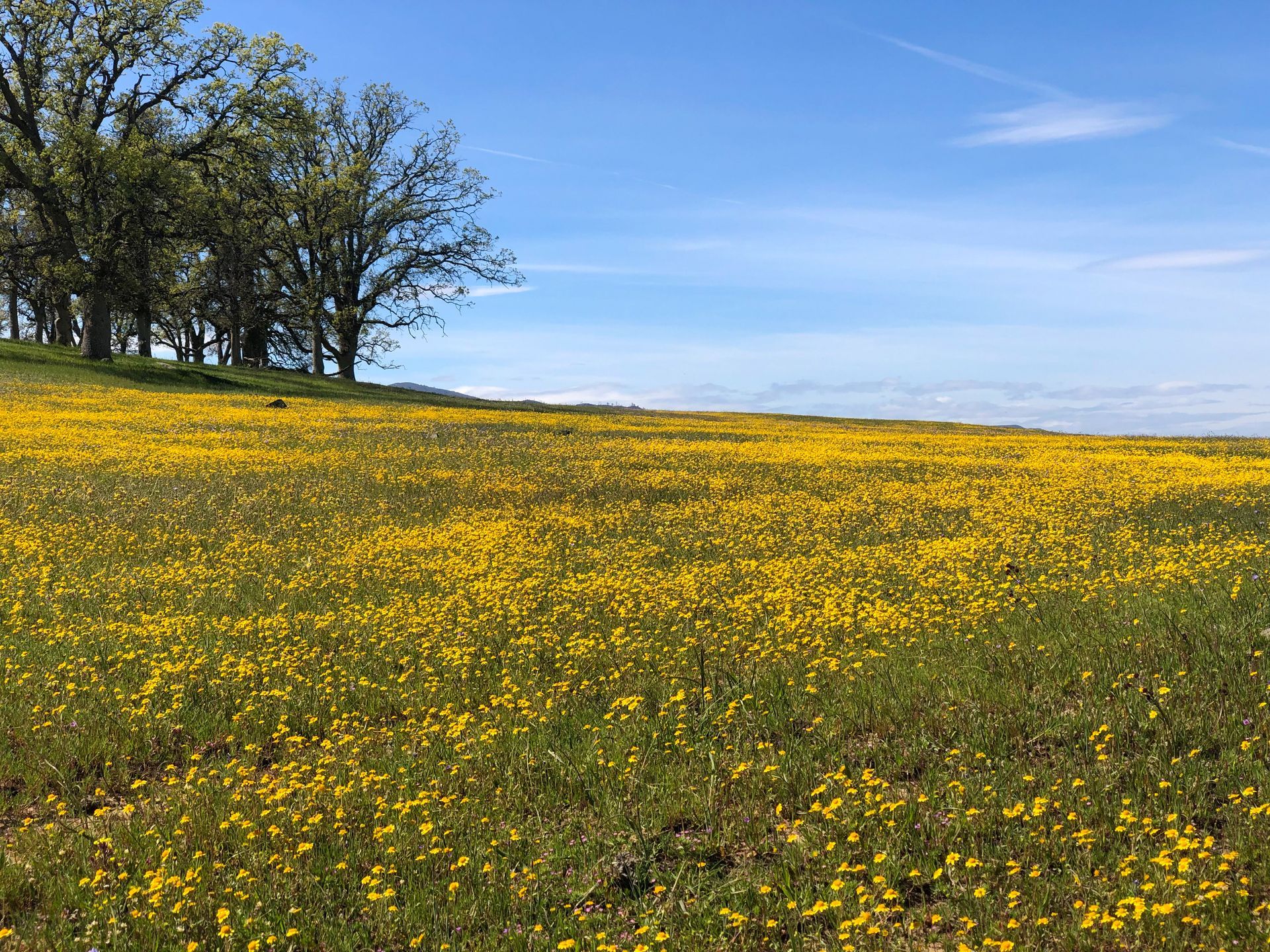
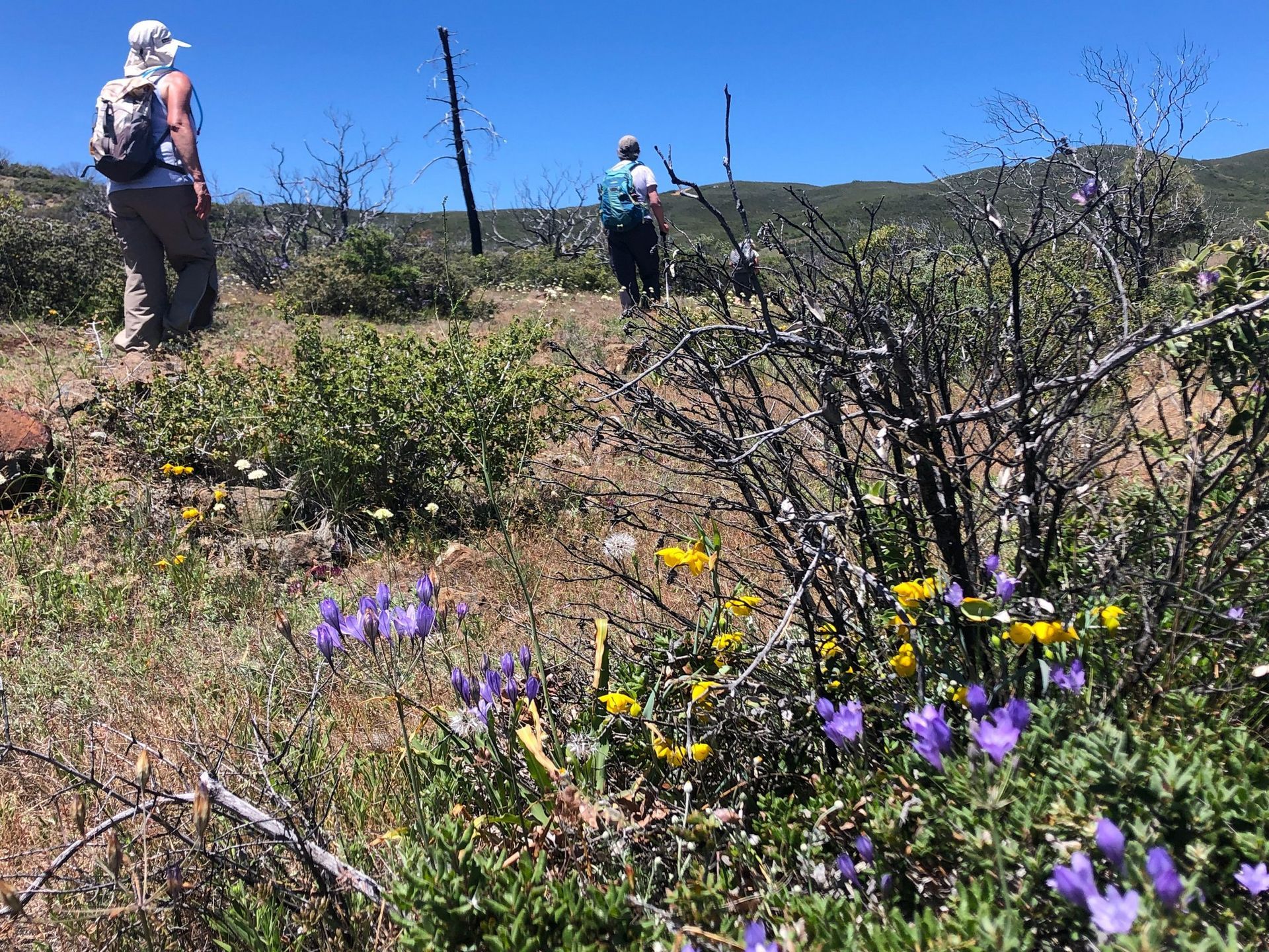
A lot has happened in the Public Lands space since our last Policy Corner. Doug Burgum took his role as the 55th Secretary of the Interior, and Kathleen Sgamma received confirmation to head the Bureau of Land Management (BLM). The House Natural Resources Committee has held several oversight hearings on topics ranging from selling off public lands to establish American Energy Dominance , defunding federal agencies such as BLM as a method to incentivize Multiple Land Use by private companies and undercutting the efficacy of the Endangered Species Act (ESA) and calling it a “needed reform”. Through questionable actions made by DOGE, we have also seen thousands of Forest Service, BLM and National Park employees fired and, through court order, rehired . With all this chaos happening far and near, the real question becomes: What does all this chaos mean for Californians? Bureau of Land Management (BLM) land is concentrated in 12 western states. California holds nearly 15 million acres of BLM lands. In addition to BLM land, California has land that is managed by other federal agencies such as the U.S. Forest Service, National Park Service, and U.S. Fish and Wildlife Service. The recent reductions to staff across all federal agencies directly impacts National Monuments, National Parks, and National Forests, that are located within California. Every year, Californians, residents from nearby states, as well as international tourists visit the public lands within California as a way to spend time with families, enjoy the great outdoors, and experience mental healing. The National Park Service reported that 36.2 million people visited the 28 national parks in California in 2023 . Those visitors spent roughly $3.2 billion dollars, which supported 39,678 California-based jobs and contributed $5.1 billion dollars to our state economy. While it may not be as visible, the presence of BLM and U.S Forest Service also creates jobs in California and positively contributes to the local economies of our communities and the overall economic strength of California as a whole. Public Lands are more than recreation; they create employment opportunities and contribute to economic prosperity. Despite National Monument and public lands holding immense value in the hearts and minds of Californians and the American people in general, our public lands are being threatened. It was announced earlier in the month that DOGE plans to close federal offices across the United States. One of the offices that has been targeted to close is the Ukiah BLM office . The Ukiah BLM office plays a significant role in coordinating protection for the federal lands in California ranging from the intercostal mountain range and Berryessa Snow Mountain National Monument, which includes the Mendocino forest. The Ukiah office assists with issuing permits for timber harvesting, livestock grazing, off highway vehicle recreation, and overseeing proper adherence to environmental preservation practices. Additionally, Ukiah is essential in coordinating CalFire dispatch and response to the wildfires that affect our forests and our communities. The Ukiah BLM office also houses the Berryessa Snow Mountain National Monument Manager. Without a Ukiah office, the Monument Manager's ability to respond to fires, guarantee safety, and ensure that conservation practices are taking place in and around the monument is reduced. This means that our public lands and forests are at heightened risk of wildfires and trails we love to hike become unsafe to those who use them. The closure of the physical office is not the only threat to Ukiah BLM operations. Many of the staff have been in their posts for years and have recently been promoted, meaning the invaluable staff is at risk of being terminated due to their probationary status. We run the risk of losing these public servants and the institutional knowledge they have of our public lands. 1.5 million Californians throughout the region will be affected if we lose the Ukiah office or staff. The Department of Interior (DOI) is also proposing selling an area of federal land larger than the city of Los Angeles as part of the agency's plan to use public lands to help solve the recently announced "housing and energy crisis." The DOI is looking to sell about 400,000 acres—625 square miles—of federal lands for housing. Federal lands that are within a radius of up to 10 miles of all cities and towns with a population greater than 5,000 people are at risk of being sold to private companies. This has the potential to affect communities that are near the Berryessa Snow Mountain Monument. When private companies have ownership of land that surrounds protected landscapes, public access to National Monuments is reduced, oversight on how once-public lands are managed is lost which has the potential to result in the destruction of monuments such as the Berryessa Snow Mountain. With so much going on in the Public Lands and Conservation space, Tuleyome is working hard within our networks to fight against policies that put our public lands at risk. For the past several weeks, we have connected with both Congressional Offices and members of the California State Legislature, asking our representatives to be advocates for our public lands and promote good land stewardship. On March 18th, Tuleyome joined the California Power in Nature Advocacy day, where we, along with 80 other organizations throughout California, gathered in Sacramento to advocate for policies that prioritize the protection of California Public Lands and Coastal Waters. This was an opportunity for Tuleyome to amplify the voices and concerns that many of us have regarding public lands and the importance of prioritizing land protection. We were well received by California Legislators and hope to see statewide initiatives that strengthen conservation practices and promote good land stewardship. Reaching beyond a state level, Tuleyome is partaking in a Conservation Lands Foundation advocacy Fly-in where I will be visiting Congressional Representatives in Washington D.C. and advocating for the importance of: public lands remaining public, the necessity to reinstate park rangers and other public servants in our U.S. Forest Service, and Bureau of Land Management offices. Our visit to Washington will feature stories and connections about how we enjoy our public lands as outdoor enthusiasts, community members, botanists, and individuals whose livelihoods are dependent on public lands. Each time we engage in these efforts, Tuleyome is representing our diverse community and advocating on behalf of the land we love, but we could still use more help in amplifying the importance and love of our public lands. I want to thank everyone who has been emailing and asking how to help advocate for our public lands. All of us have the ability to advocate for keeping our public lands in the hands of the public; together, we have strength, and we can amplify our voices. For those of you who are interested in getting involved, there are many ways to help out. Some of the most impactful efforts include calling your state and federal representatives. Elected officials want to hear from you. Calling elected officials leads to impact; each call is documented and reviewed. It is one of the best methods for elected officials to keep record of what their constituents care about. I want to urge our readers to call your representatives, and it's okay to call multiple times. Each time you call, it is documented and demonstrates the urgency associated with the cause. Even if you called once before, call again and keep calling. Reaching out to friends, family members, and community groups and encouraging them to call their representatives is a powerful way to advocate. Don't know who your representative is? No problem—use these links to find both state and federal representatives by using your zip code. You can also send letters to elected officials. Using this link , you have the chance to send a letter to your elected officials and customize what you want to say about public lands. We encourage folks to use these grassroots options and join the fight to keep our public lands public. All of us have the ability to advocate for our public lands and its resources – wildlife, flora, fauna, water and culture. If you're interested in learning more ways to help raise awareness and advocate for your public lands, feel free to reach out to me. Until then, Happy Hiking! -Bryan Pride ( bpride@tuleyome.org ) Policy Director