Bill Grabert's Tour du Mont Blanc

Follow along during Bill's Tour du Mont Blanc!

Hi Everyone!


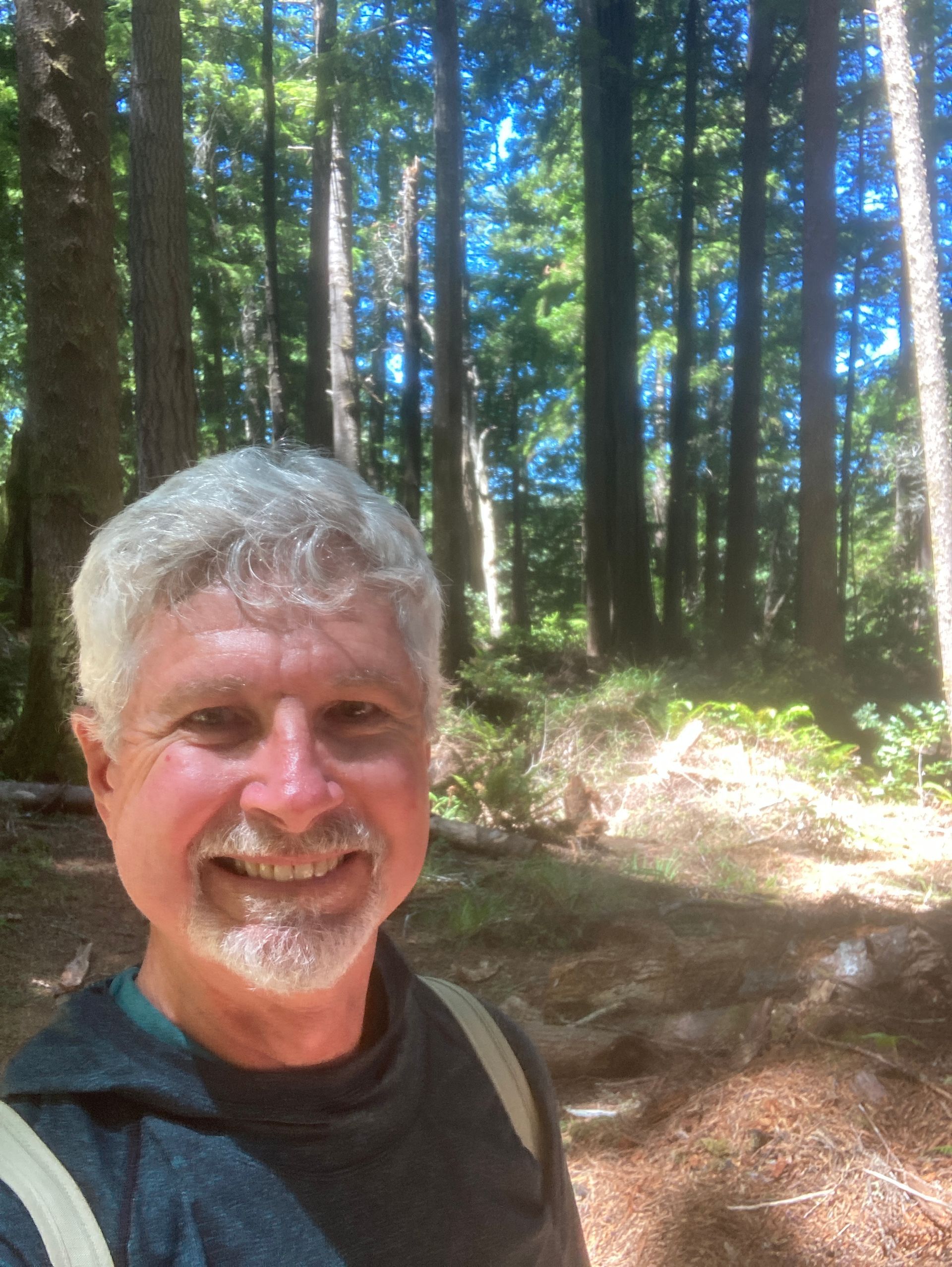
Bill here.  Welcome to my new blog about my latest adventure!  Starting Augest 29, 2024, I will be hiking the Tour du Mont Blanc  (TMB). This  100+ mile hike  will circumnavigate the largest mountain in Western Europe, Mont Blanc, passing through 3 countries - France, Italy, and Switzerland.


As you can see, I am hosting this blog on Tuleyome's website.  Tuleyome is a conservation non-profit organization in the area where I live in Northern California.  I am currently a volunteer board member.  In addition to reading my blog, I invite you to check out the other parts of Tuleyome and see what we're about.  If you like what we're doing, please consider making a donation. However… it is not required to read my blog. You will just have to scroll past the solicitation part below.


I’m starting the blog now to document my training and travels to the TMB in the coming couple of months. Please bookmark this page (https://www.tuleyome.org/bill-grabert-s-tour-du-mont-blanc) to follow the full adventure as I post regular updates. Page down to the bottom to see the newest entries.  Come back often!


Unfortunately, you can't leave comments on this site but if you want to contact me directly, you can email me at billmtblanc@gmail.com.  I'll also post a link to the blog on Facebook, please send me a friend request if you want to see that (https://www.facebook.com/billgrabert) and then you can leave comments there.

Bill is asking for people to donate to Tuleyome in support of adventure! You can donate here (or scan the QR Code below) using our secure, online donation page dedicated to this amazing journey!


Thank you for your support of both Bill and Tuleyome!

Thinking About Training

July 1, 2024

How to train for this hike! I know it’s going to be hard so I know I need to train. In the 10 days I’ll be hiking the TMB I'll have to climb a total of more than 33,000 feet. Mt Everest is only 29,032 feet. I will have to descend more than 35,000 feet. Since I’m hiking a loop and ending the same place I start, that confused me a little until I realized that there is a nice gondola ride to pop me up a couple of thousand feet at the beginning.


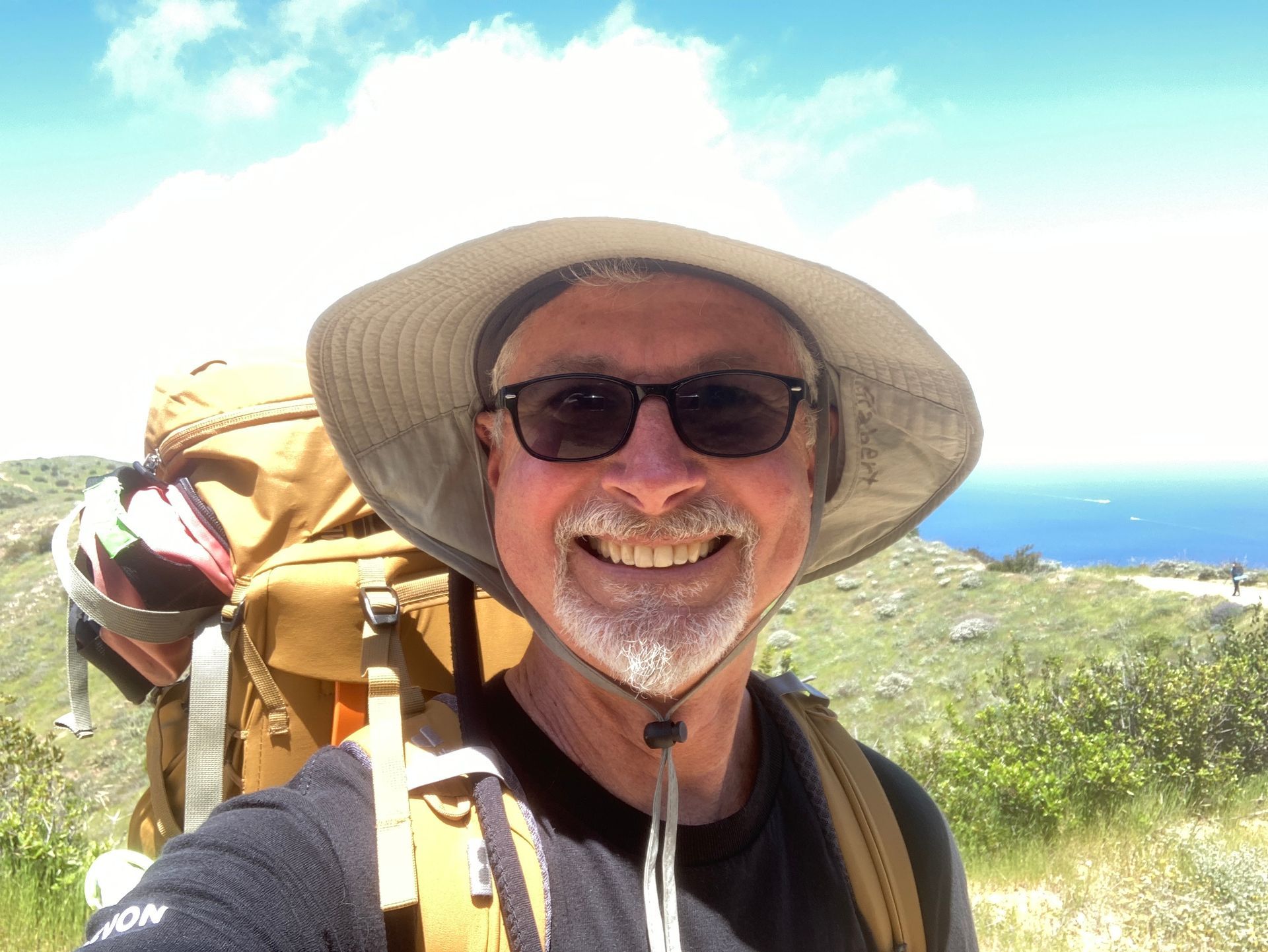
After a longish sickish winter, I’ve been pretty active starting in April or so. Davis, California, where I live, is as flat as a pancake but I’ve been jogging an average of 12 miles per week and logging at least 10,000 steps per day on my trusty Garmin Forerunner 245 runner’s watch. In April, I backpacked the challenging 40-mile Trans-Catalina Trail. Since May, I’ve done a few hill hikes in San Francisco Bay area, some flat water kayaking, and two white-water river trips. The white-water rafting trips don’t actually provide much of a workout because I’m mostly just sitting in the raft floating down the river, but they are very fun.


I will need to step it up.


donate here

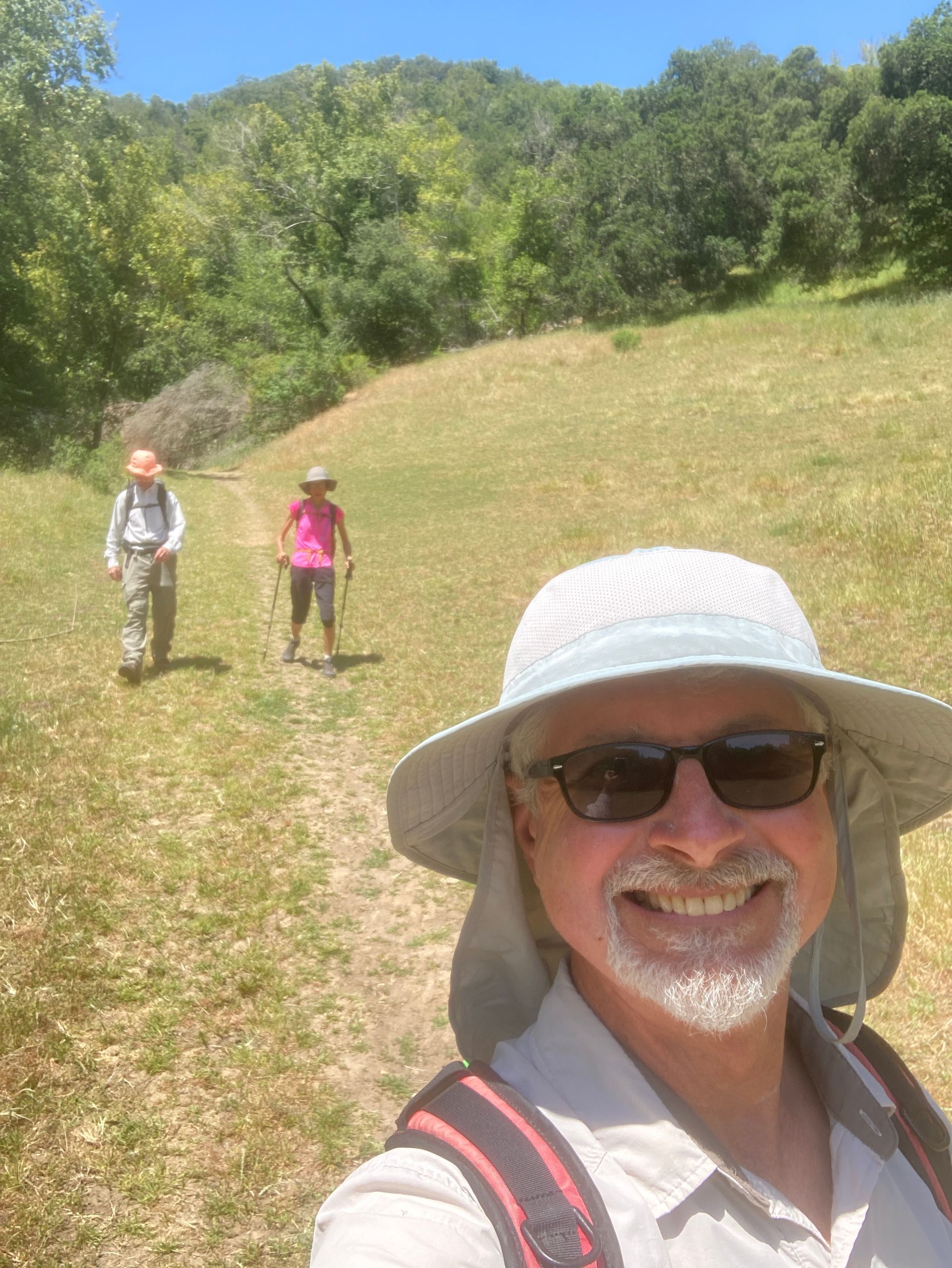
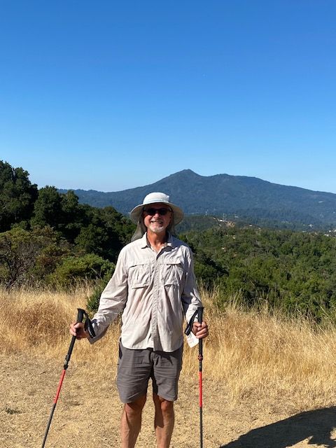
Briones Regional Park in the East San Francisco Bay area
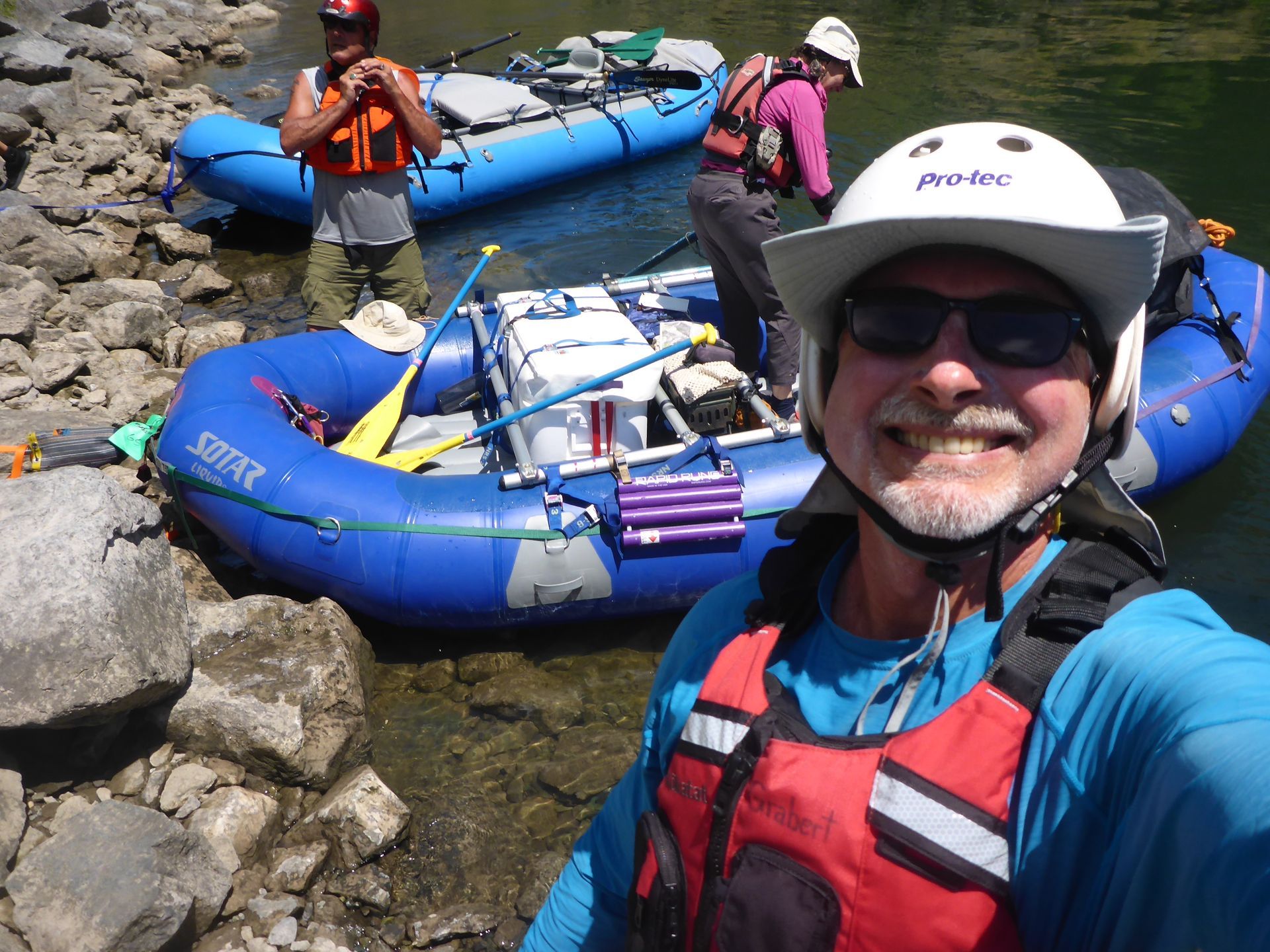
Rafting in Hell's Canyon on the Snake River between Oregon and Idaho

More about the TMB

July 2, 2024

The good news is that I will not be backpacking, per se.  I am doing the trip through a "self-guided" travel company,  Macs Adventure.  What that means is that I'm not in a tour group. I won't have a guide.  I'll be on my own to find the trail from one night's stop to the next.  However, I will be able to sleep in a bed every night, I won't have to carry a sleeping bag, tent, cooking equipment, food, or even a change of clothes.  The Macs Adventure people will transport my gear to the next night's stop every day.  The only things I need to carry are what I need for the day's hike.  Mostly, that will be water and lunch, but I'll carry some safety supplies and enough clothes for variable weather.


donate here

Map: Les Houches, France. The starting and ending point for the Tour du Mt. Blanc

Can this site imbed video?

July 3, 2024

Yes! I can.  I will try to include some videos in the weeks ahead.


This video is on one of the milder sections (class II?) in Hell's Canyon.  During the really big rapids (up to class IV) I didn't want to have my camera out.  I also had my hands occupied on a paddle!


donate here 

Hiking Training in the Heat

July 6, 2024

It's been very hot, which makes it hard to hike, particularly around Davis, Yolo County, and the general Tuleyome / Northern Inner Coast Range / Berryessa Snow Mountain National Monument area.  As I write this, it's 113 degrees F (45 degrees C) at 3:30 PM.  I went out for a 10 K jog this morning, but I won't be doing any hiking today.  


As I train for the TMB, I am going to try to hike some of the fantastic trails in Tuleyome's region, but this time of year, with these temperatures, it's going to be tough.  I may have to spend more time at the coast or up at higher altitudes in the Sierra Nevada Mountains.


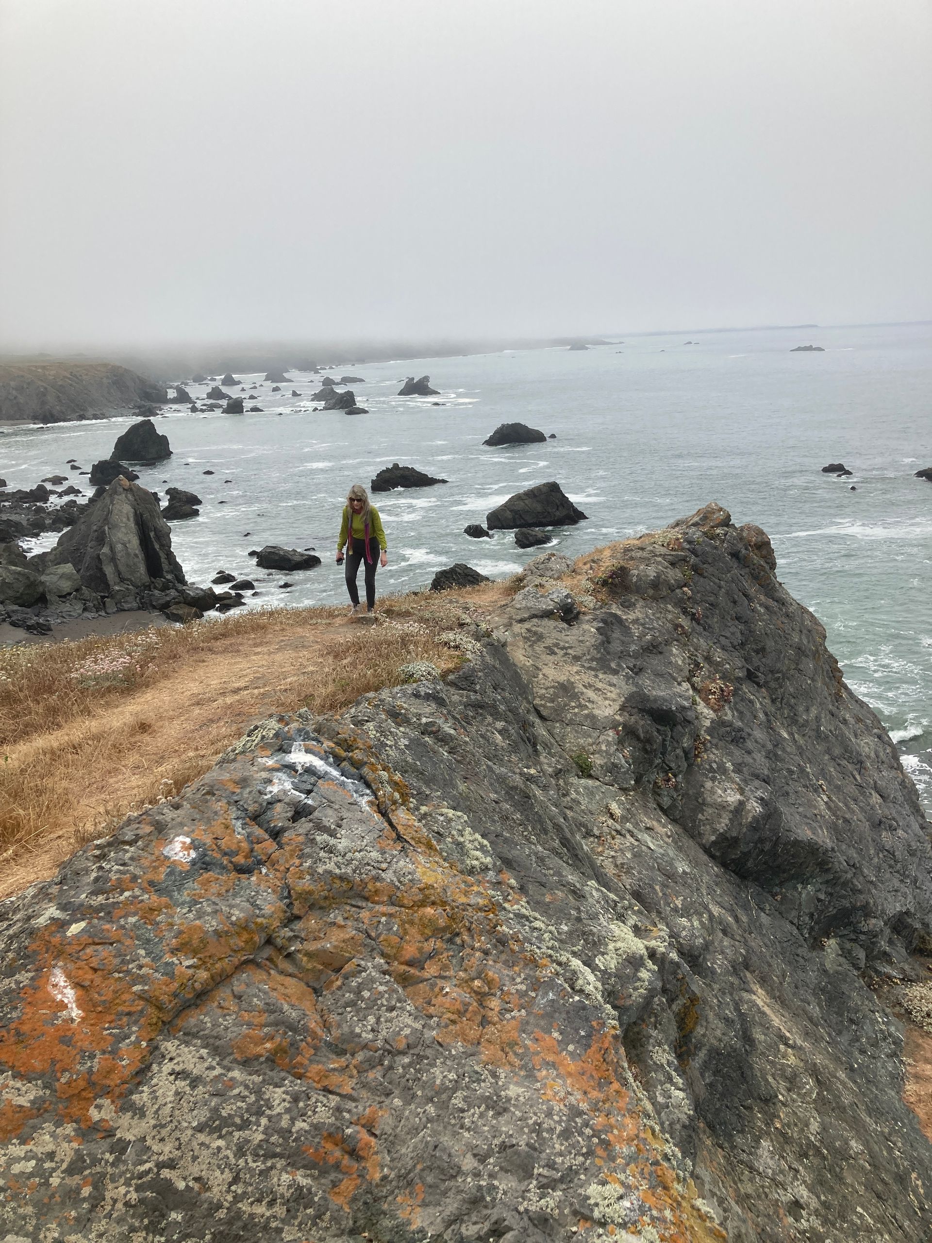
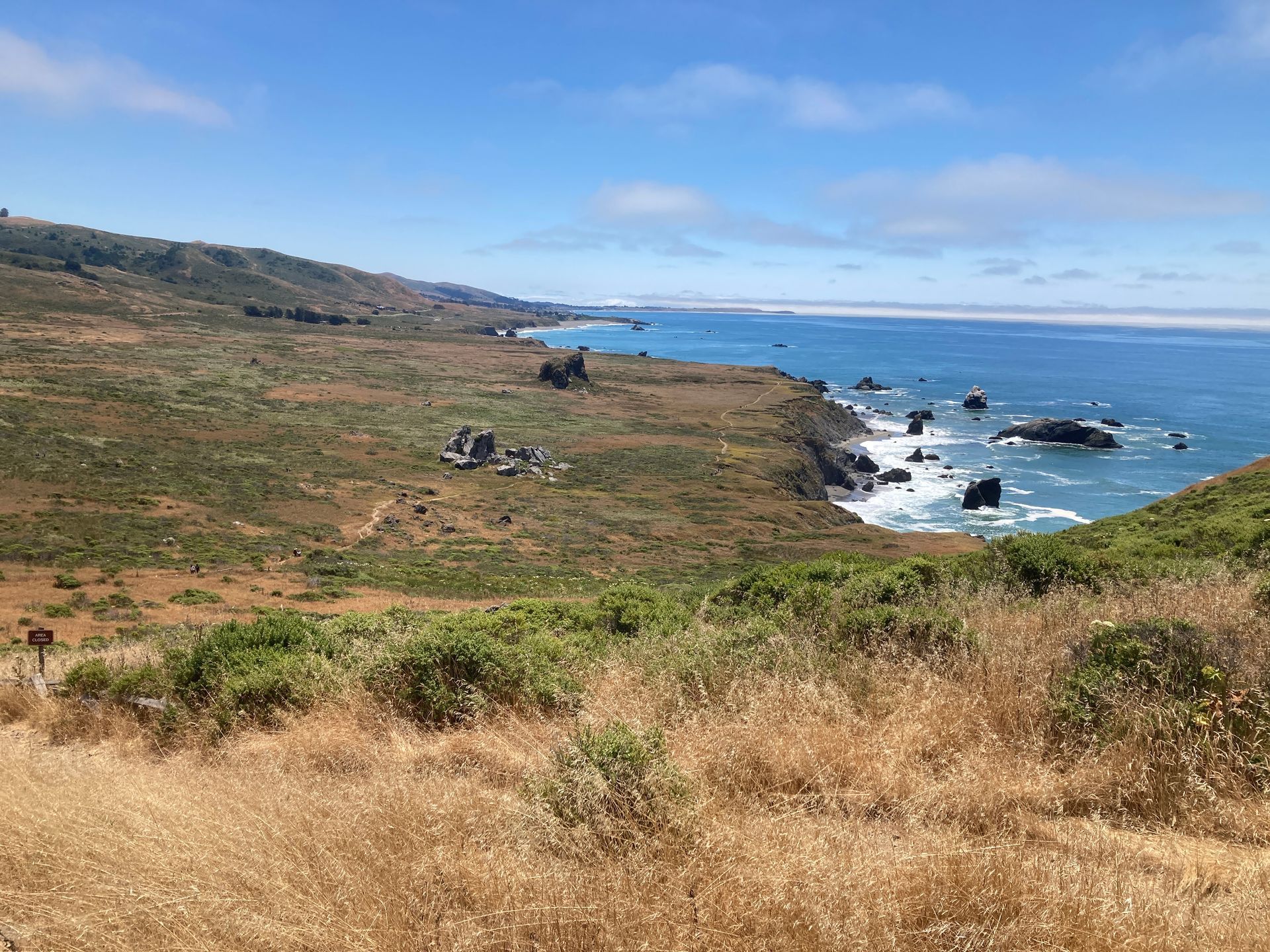
Over the last two days (July 4 & 5), I was able to hike at the coast, in Marin and Sonoma Counties.  It is MUCH cooler next to the ocean.  The closer you are, the cooler it is.  Vicki and I went to the mouth of the Russian River to hike the Kortum trail yesterday (July 5) and it was cold and foggy at 10 AM.  It takes more than 2 hours to get there though.


Donate Here for Bill's Hike
Map: Kortum Trail, Sonoma State Beaches, California

Running Totals

July 10, 2024

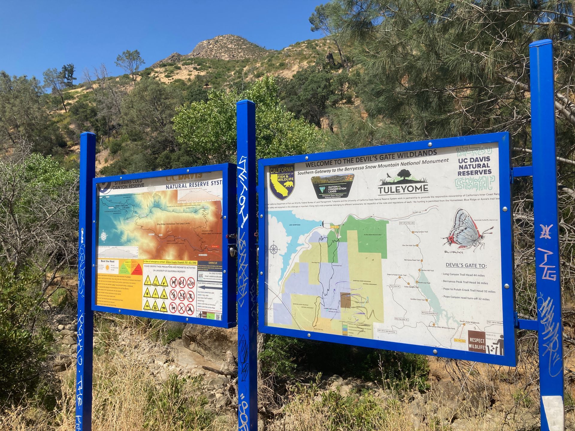
I think I'll start posting running totals of the number of miles I'm covering during my training, just for fun, and in case anyone is considering donating per mile of training or even per foot of climbing.  Over the last few days, I've been up to the ridge at Stebbins Cold Canyon, Winters (4 miles, 1,389 ft. ascent), and the radio tower at Peña Adobe, Vacaville, twice (8 miles, 1,556 ft. ascent).  I have also been walking and jogging in the morning in Davis.  I do Pilates once a week or so too, but I won't include that.


So... here are my running totals since July 1 until July 10:

Distance: 41 miles (66 Km)

Ascent:  4,790 ft. (1,460 m)


My goal for training before I embark for Mont Blanc is:

Distance: 200 miles (322Km)

Ascent:  20,000 ft. (6,100 m)


More on hiking around here:

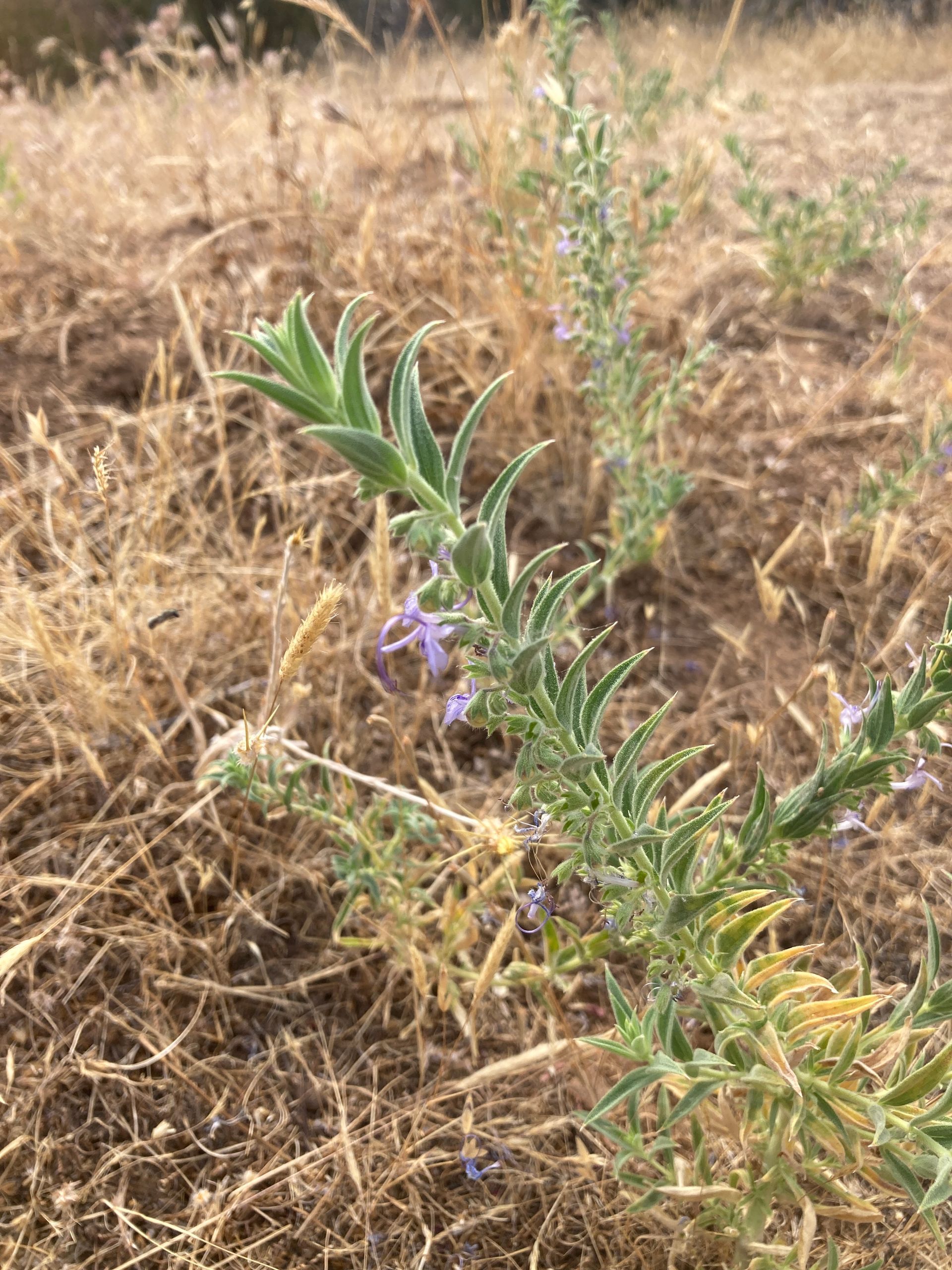
The Tuleyome trails area to the north and west of me is beautiful in the late fall and winter. In the spring, however, it just explodes with intense beauty. Everything is green from winter rains. A sequence of different populations of spectacular wildflowers cycles through the area from February to June. The peak is usually late April when there is plenty of moisture left over from the winter, plenty of sun, and enough warmth to make hiking really ideal. The Northern Inner Coast Range of California, where the Berryessa Snow Mountain National Monument exists, is indescribably beautiful at that time. As we approach mid summer, however, it starts to get brutal. The chaparral plants are still green, but drying fast. The seasonal creeks stop flowing. The blooming wildflowers are rotating into species that are not as showy. There are still some there, but you have to look harder to appreciate them. The invasive annual grasses die and turn completely brown and dry, just begging to ignite. The thistles and poison oak are happier than ever. And it is hot… and dry. There is a real chance of getting caught in a serious wildfire if you are out hiking on a hot windy day that is all too frequent in recent years. Most of the area has burned at least once in the last 20 years. If you smell any smoke, you get out as fast as you can. It generally still cools down at night, so you can still enjoy some great hiking if you go out in the early morning, but hiking around here in the summer is a completely different undertaking than it is during the rest of the year. If someone is only exposed to this area in the worst of the summer, they could almost be forgiven for wondering why anyone cares about this area at all. It’s temporal variability and diversity, however, are a huge part of it’s value. Each week of the year shows a different biologic facial expression, but the underlying bones of the land, the geology, stays the same.


Did I mention poison oak?  I got a touch of it on the Cold Canyon hike, July 7.  It's not too bad yet, but sometimes it takes a few days to develop.  I may have to include a picture if it becomes photogenic.
Donate Here for Bill's Hike

Valley Vista!

July 14, 2024

It's been a few days since I posted, but I haven't stopped training.  I went back to Peña Adobe, Vacaville, for a few more laps up the mountain, I went for a jog to the Davis Farmers Market, I rode a stationary bike for an hour or so, and today I hiked the Valley Vista Trail.


Current running totals since July 1:

Distance: 65 miles (105 Km)

Ascent:  9,474 ft. (2,887 m)


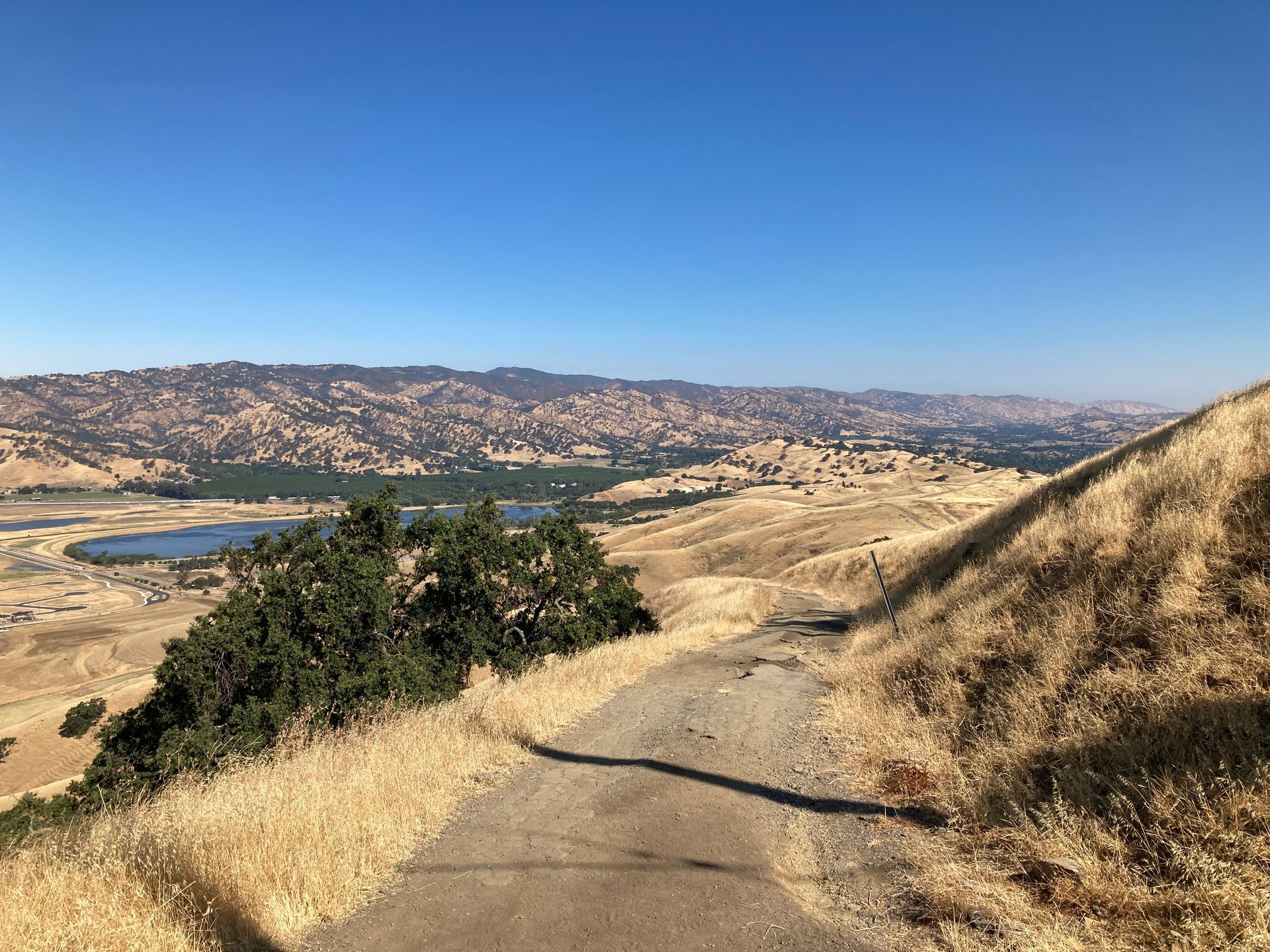
It's still hot, but not unbearable when I go out in the morning and carry lots of water & Gatorade. If you're sweating a lot and you are on a ridge with a little breeze, it can actually get some nice cooling.  Valley Vista is about an hour's drive from me.  It lives up to it's name in several ways.  When you get up a ways you get a beautiful view of the Capay Valley in northwestern Yolo County, with Cache Creek running through it.  When you get higher, however, you can see all the way over to the Sacramento Valley with the Sutter Buttes in the middle.


The only people I saw today were three guys from CalFire on a training and recon hike.  They left their fire engine down at the road and were in full firefighting gear, with helmets, radios, McLeods, etc.  There was plenty of very dry grass and poison oak, but lots of other wonderful things to see too.  Tuleyome has done a lot of work on this trail and it's really good in some places.  Trails need maintenance, however, and it doesn't take long for plants grow into the trail to the point where they need to be cut back.  Much of the maintenance can be done by volunteers, but the coordination is done by paid staff.  Some money to help pay for that staff is what I hope to raise here.


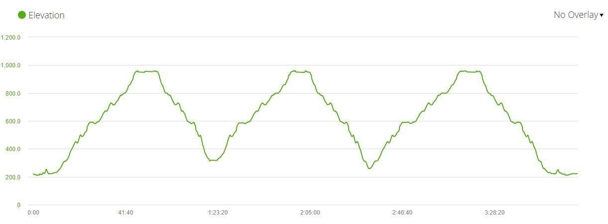
I wear a fitness watch (Garmin Forerunner 245) which tracks my hikes. Here is today's hike.

Donate Here for Bill's Hike

Back to the Coast

July 23, 2024

We went to the Mendocino Coast of California last week and escaped the heat of the Sacramento Valley.  The training over the last week has consisted mainly of jogs and easy hiking.  I still got in a few miles though...


Current running totals since July 1:

Distance: 100 miles (147 Km) (goal: 200 miles)

Ascent:  12,096 ft. (3,687 m)  (goal: 20,000 ft.)


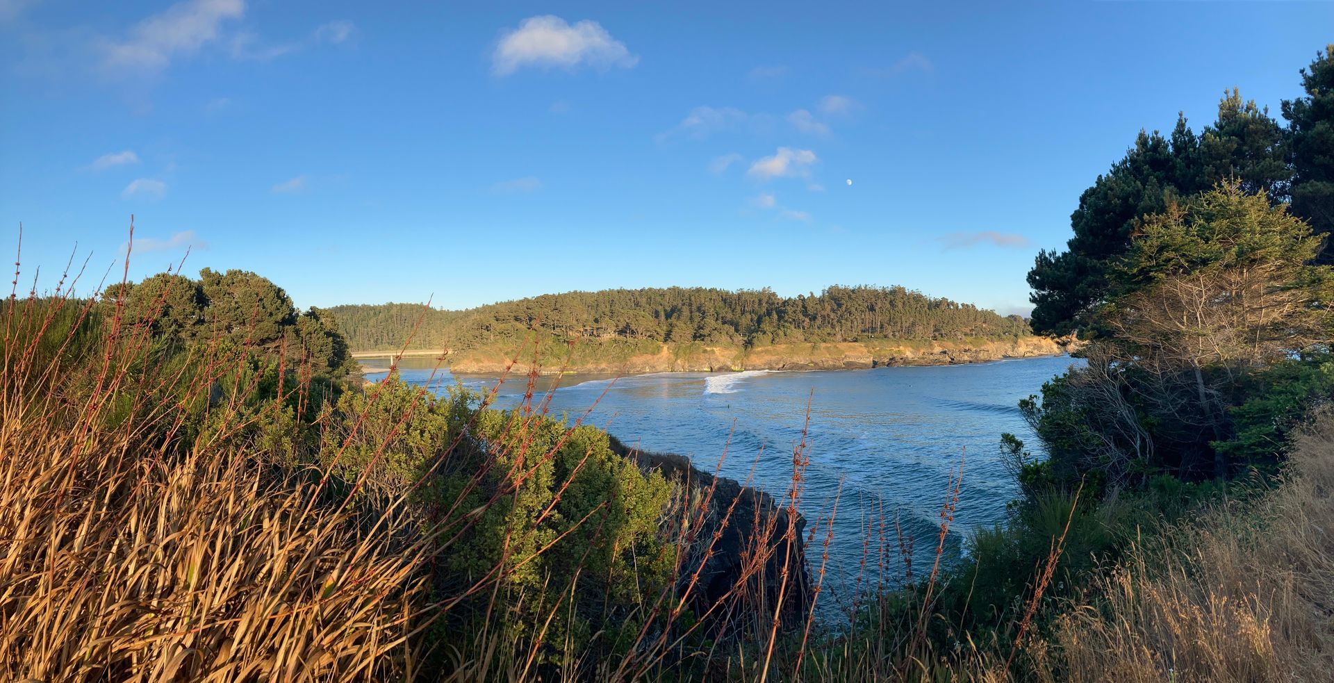
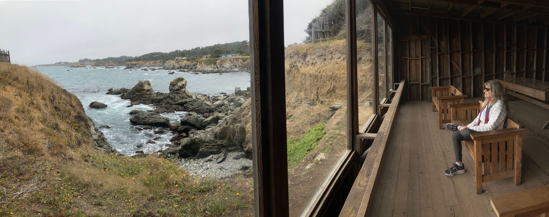
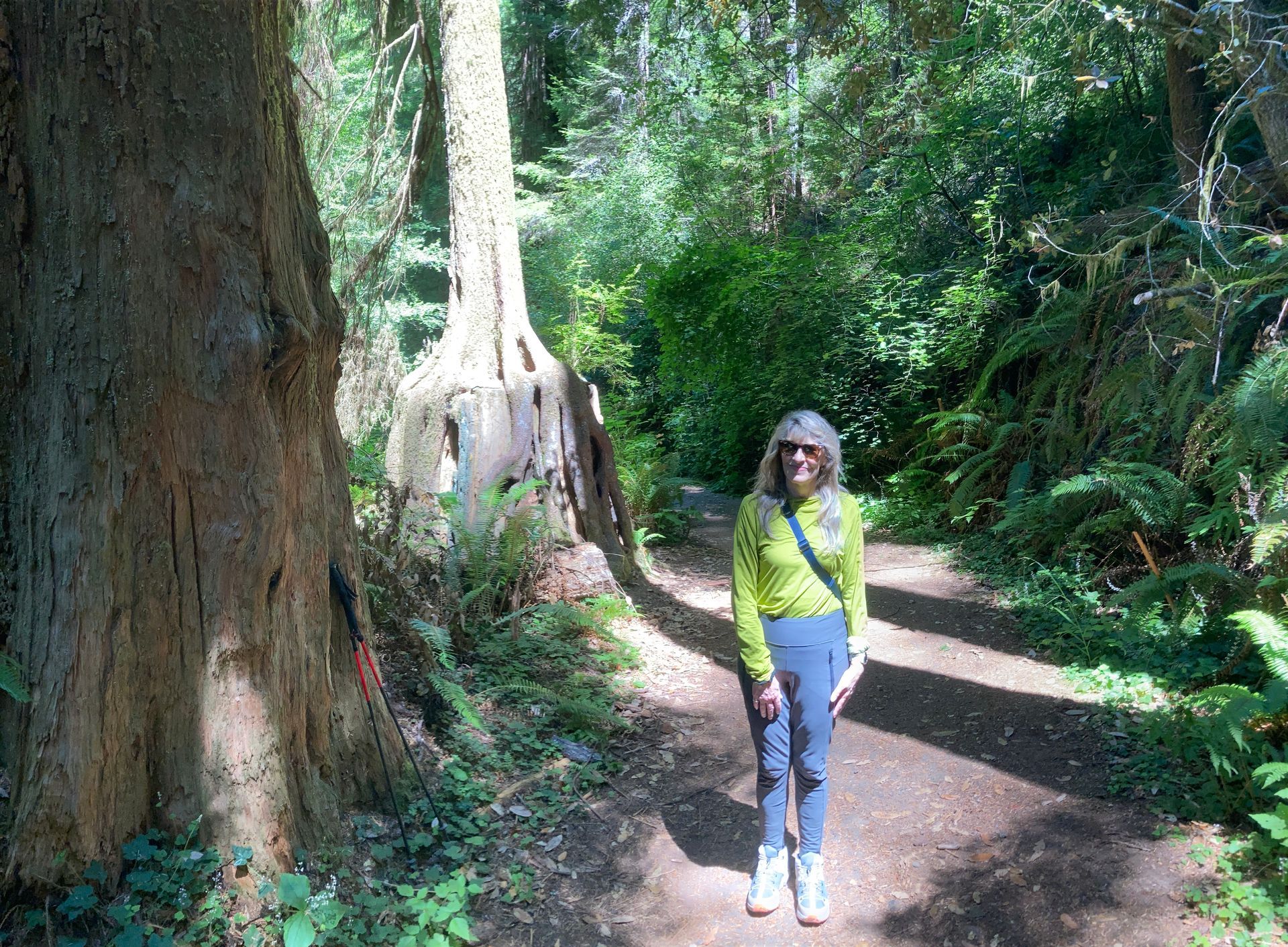
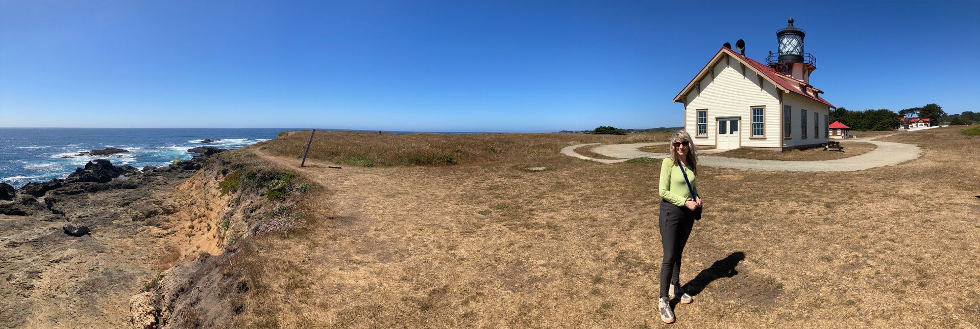
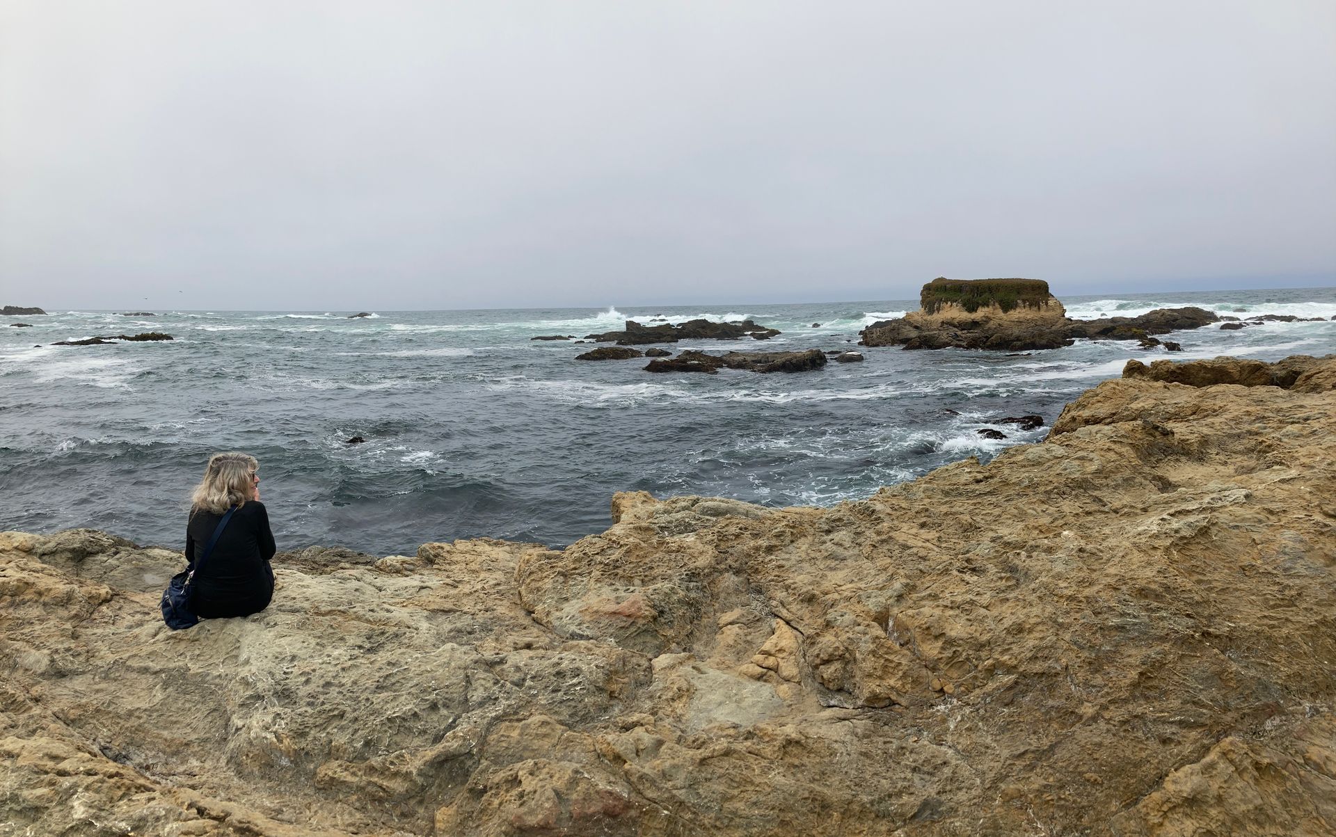
The real reason we went to Mendocino, was to celebrate our 30th wedding anniversary.  It is a beautiful coast and a beautiful town.  Fortunately, Vicki also likes to hike and we went on some nice hikes on the coast, and the botanical garden, and up "Russian Gulch".  We also did some other fun stuff like take a "Murder, She Wrote" (a popular TV show from the 80's and 90's filmed in Mendocino) walking tour from a local young historian.  She (the historian tour guide) gave us lots of information on what it was like to grow up in a little town so dependent on tourism.  It was pretty obvious that the town was still struggling to recover from the economic impact of the pandemic.  There was a big music festival happening while we were there too.  We got to listen to some rehearsals and attended a great big band jazz concert Saturday night.
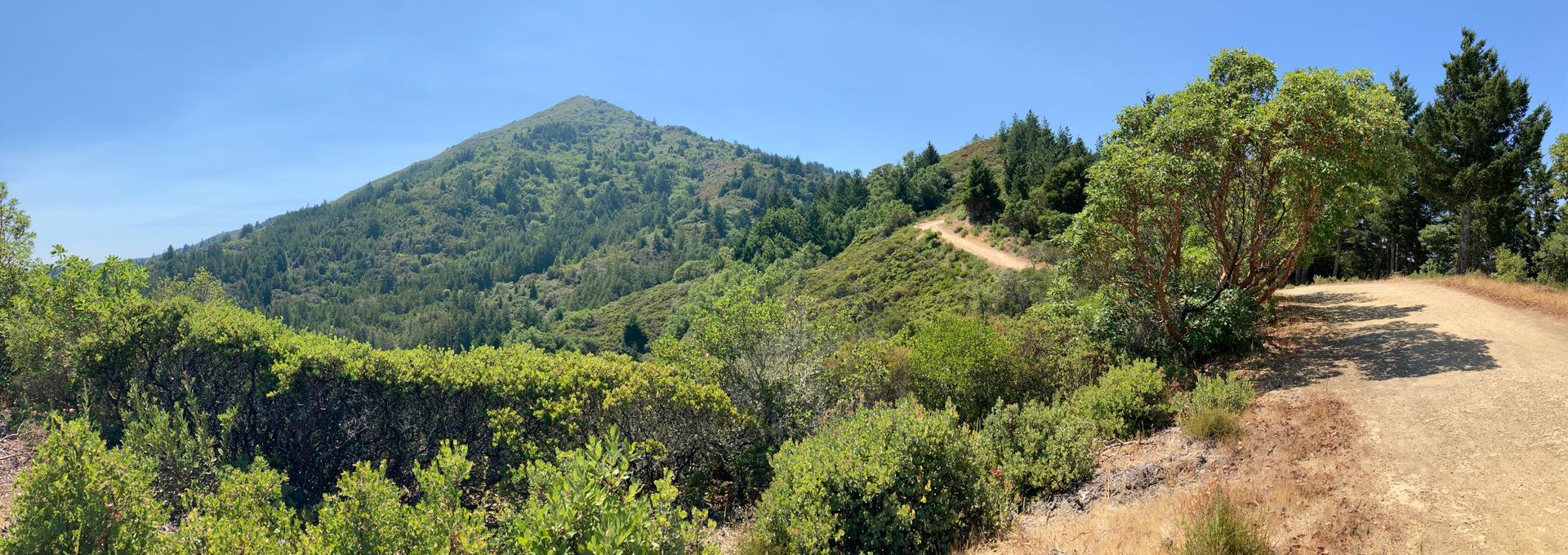

Here's the link to the Russian Gulch and Point Cabrillo Lighthouse hike on July 19.


After returning to the heat of Davis (and a number of nice restaurant meals including desert!), I seem to be jogging quite a bit slower, and lack the motivation to resume serious hiking.  I start hiking the Tour du Mont Blanc in almost 1 month (August 29th) however, so the pressure is building.


One interesting bit about the timing of my TMB is that it will be there at the same time as one of the most famous ultramarathon events in the world, the Ultra Trail du Mont Blanc.  There are several races as part of the event, but the main event has ultramarathoners running exactly the same 100+ mile trail I will be hiking.  What will take me 10 days, they will run straight through.  According to Wikipidia: "While the best runners complete the loop in slightly more than 20 hours, most runners take 32 to 46 hours to reach the finish line. Most runners will have to run through two nights to complete the race."  I hope to see some of the runners, but they start in Chamonix at 6:00 PM on August 30th so they will probably run past where I am staying in Les Chapiex while I'm sleeping.  No doubt I will see lots of participants and event hoopla in Chamonix before I start though. 
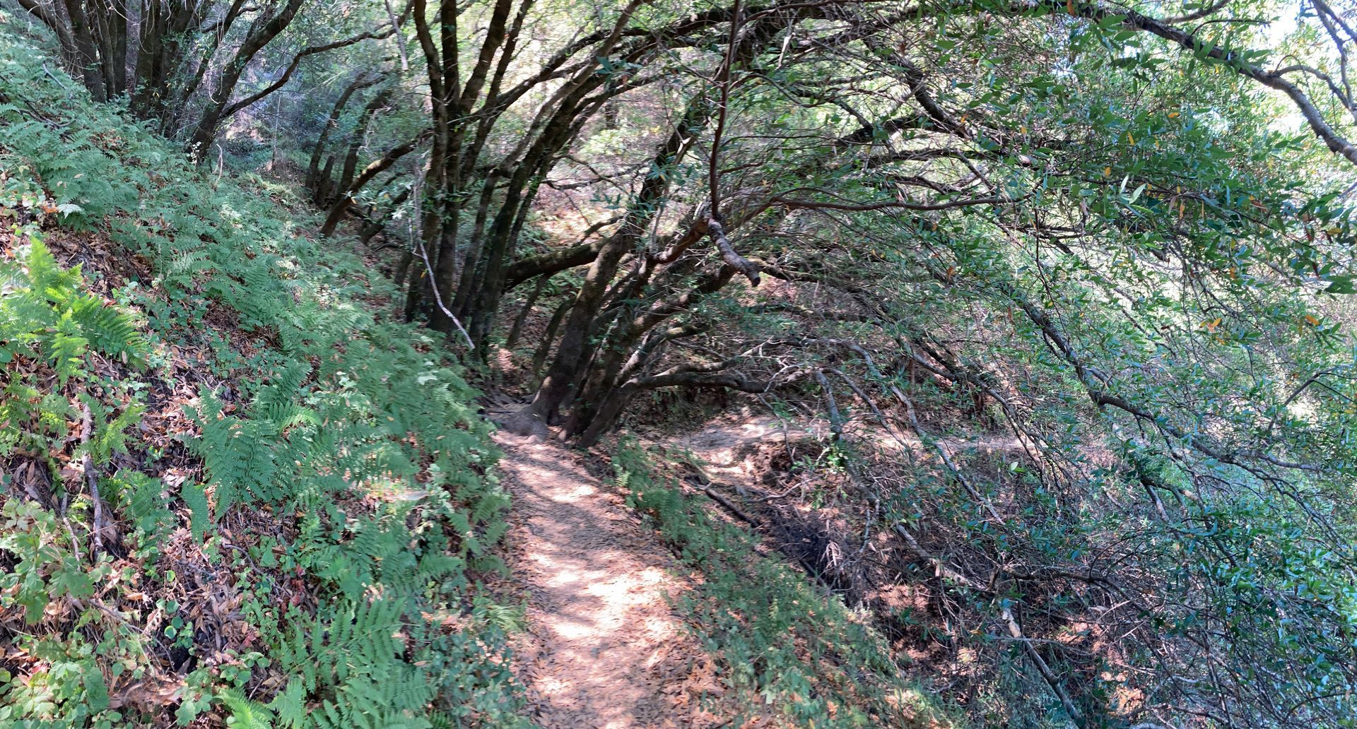
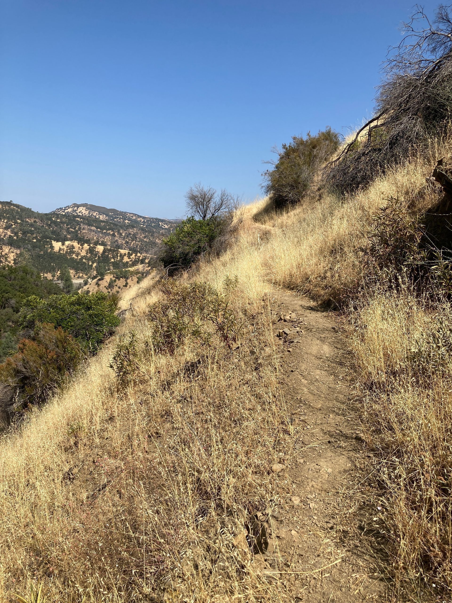

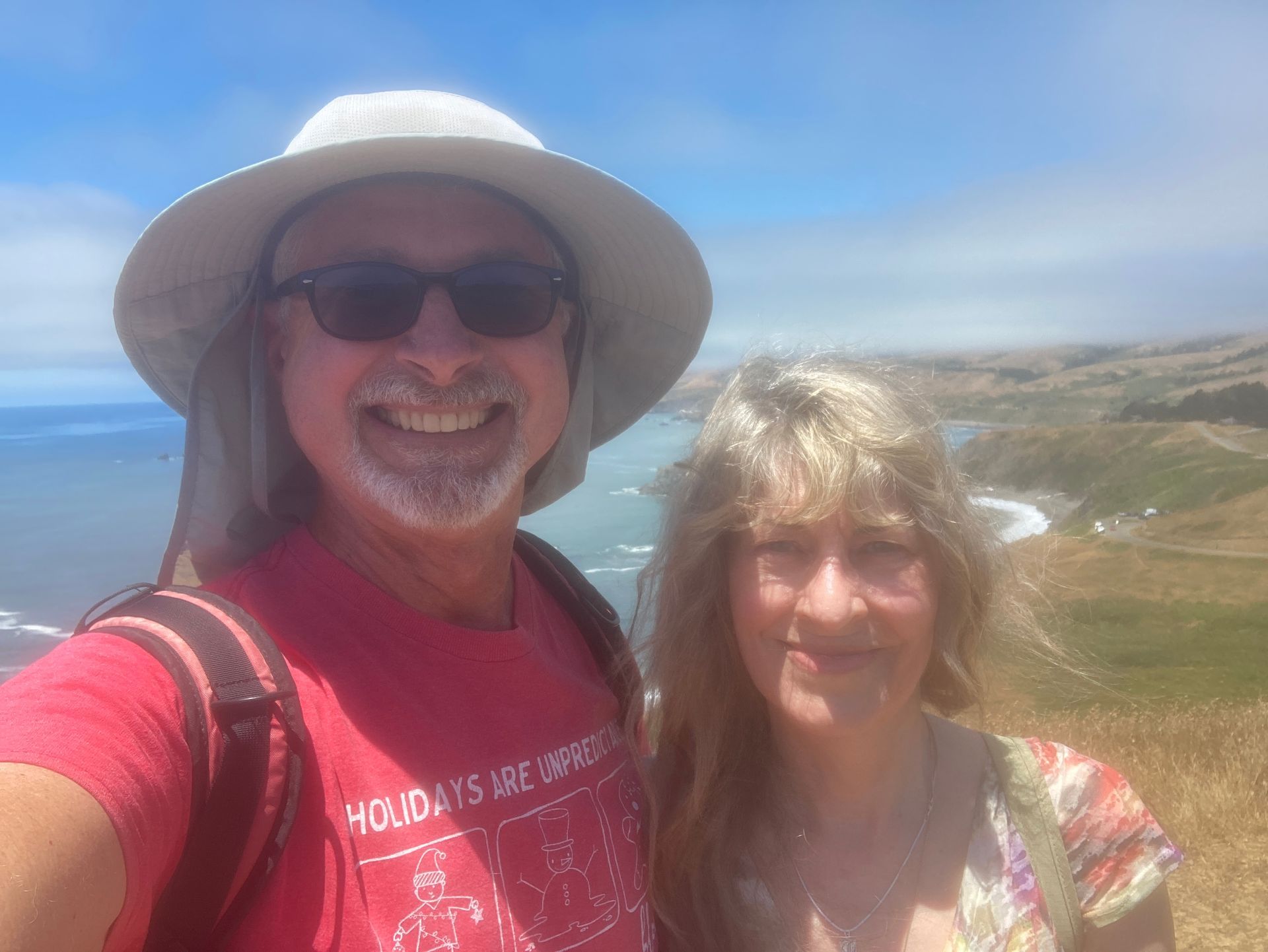
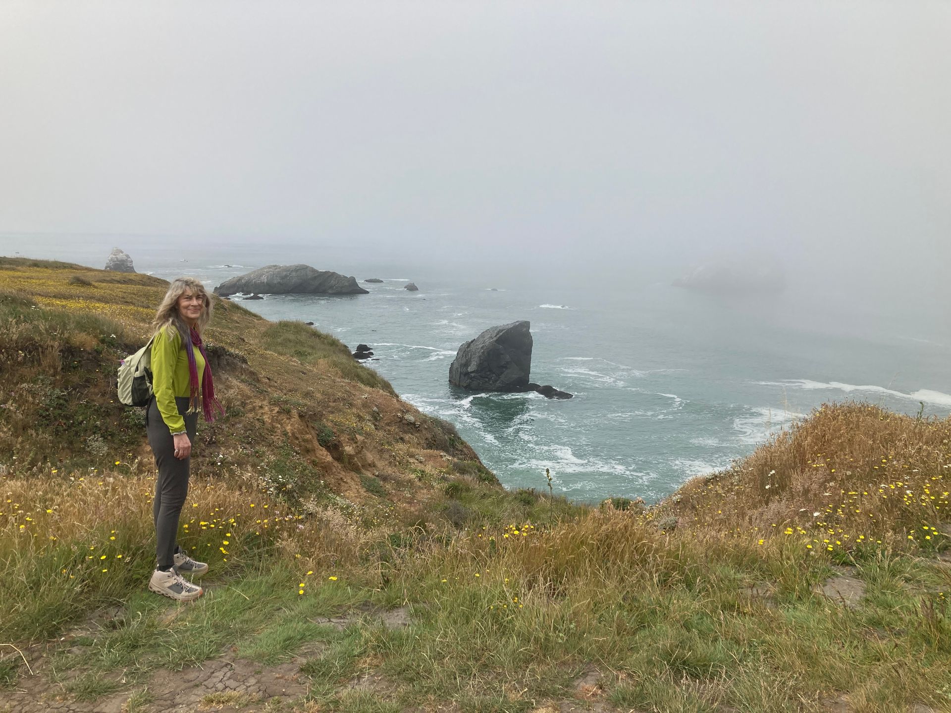
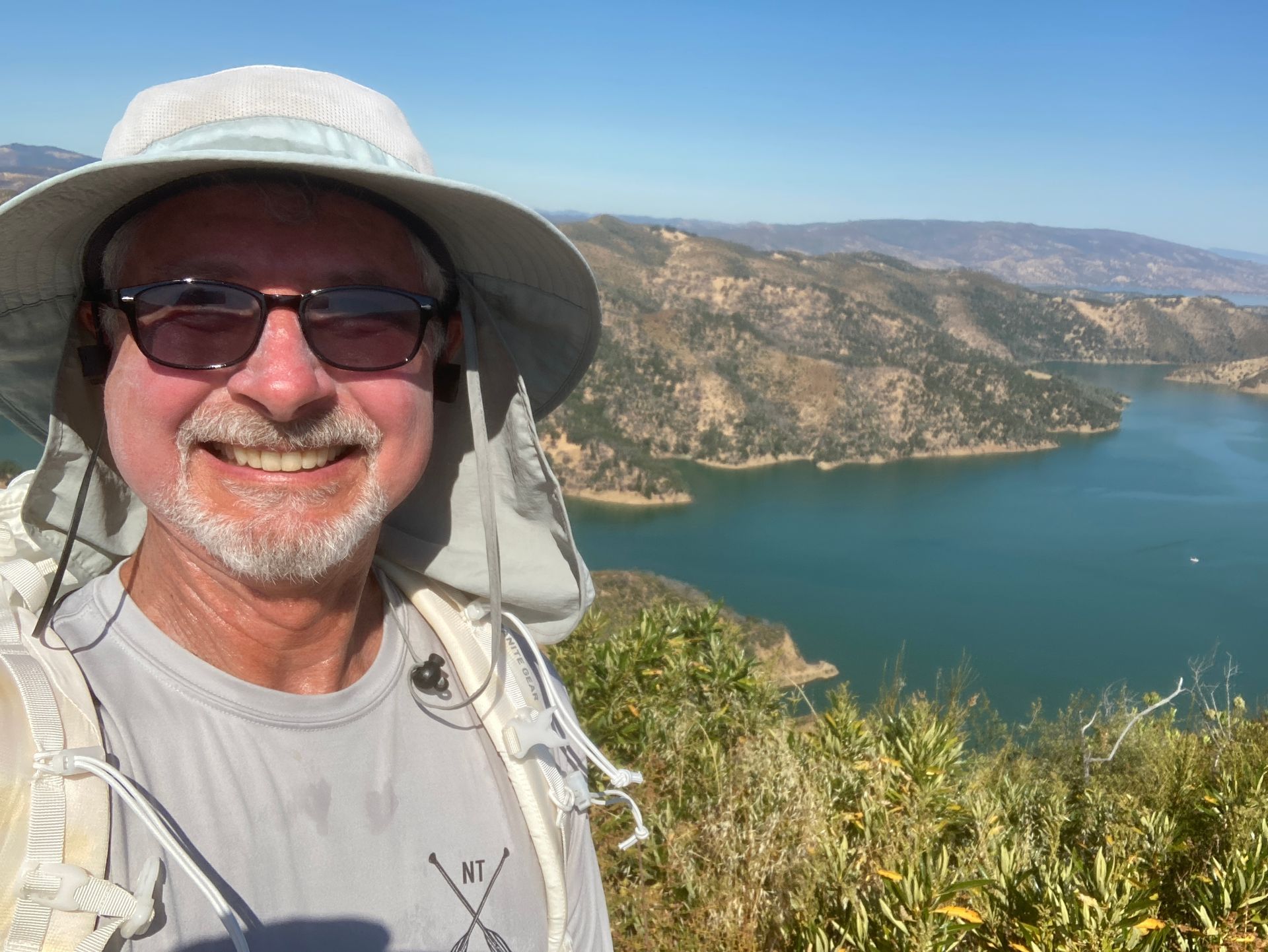
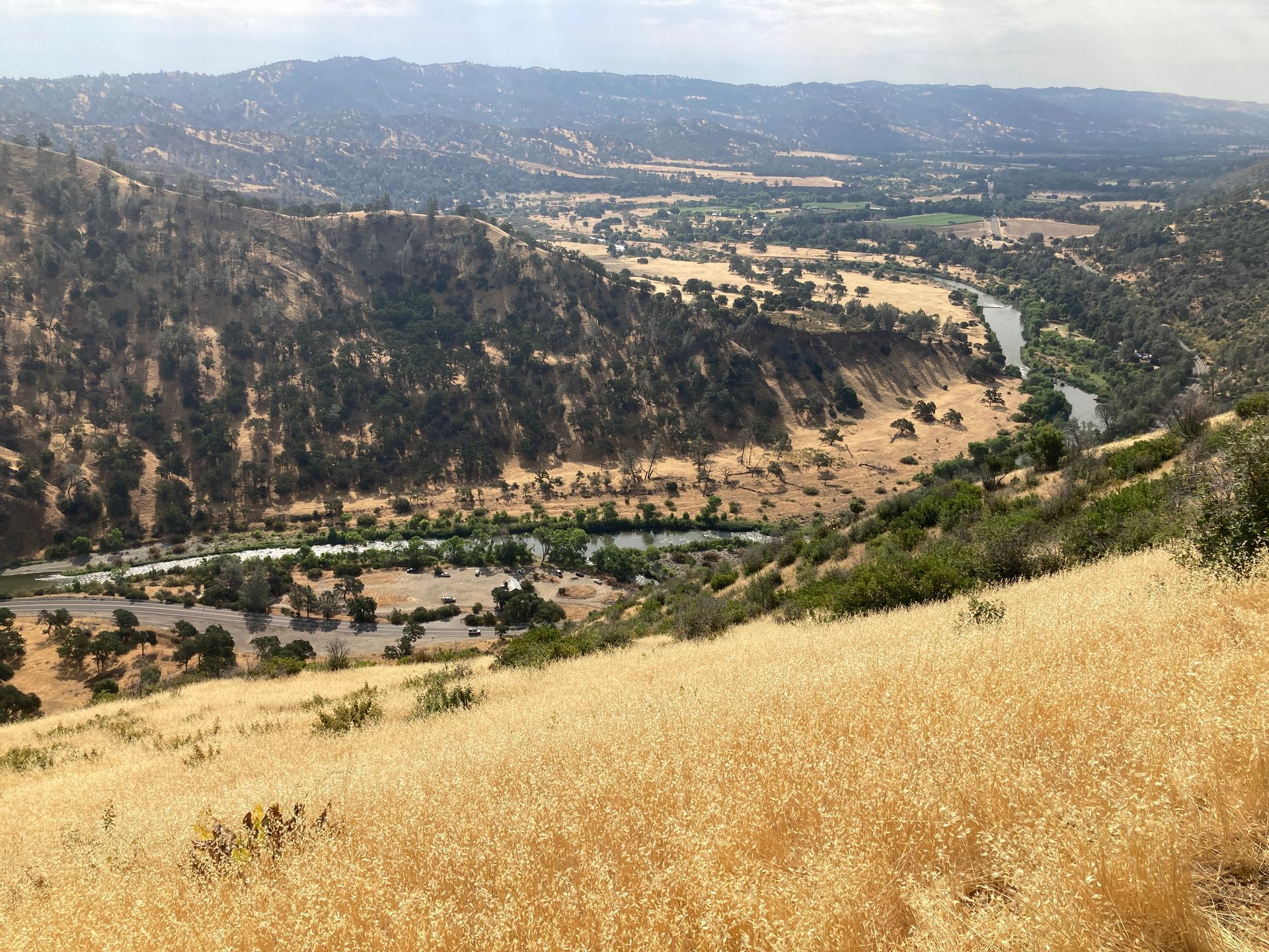
Pictures from last week:

Donate Here for Bill's Hike

For my age... Happy Birthday to me!

July 31, 2024

Yes, I had a birthday last week.  And as I promised, I am including how old I am now: 70.  It is kind of a difficult milestone.  It feels to me like, when you are "in your 60's" (i.e. the week before last) if you feel fine, you can easily be in a little self denial about age.  However, when you are "in your 70's", there is no avoiding it.  You... are.... old.  I remember my parents when they were in their 70's.  They were old.  Before I was in my 70's myself, everyone in their 70's was... old.  On the other hand, I remember my mother saying that 70's are not so bad.  She said that most things don't really start falling apart until your 80's.  So I guess that's good news...  Still, crossing over the threshold of my 7th decade does come with a bit of a stigma, both internally (the way I view myself) and externally (the way others view me) that must be dealt with.


I must admit, I feel like I'm doing pretty well... for my age.  I have to add that last caveat now because, even though I can still do lots of stuff (like, hopefully the Tour du Mont Blanc), there are trips, others can do, that I just can't hope to do any more.  Trips like backpack the 200+ mile John Muir Trail, with a side trip up Mt. Whitney (I know 2 people who did that this month), or back to back day-hikes up Half Dome in Yosemite and Mt. Whitney (my son and his friends did that) are just beyond my capability no matter how hard I were to train.


Training for the TMB is going well though (for my age.)  Here are the running totals since July 1:

Distance: 132 miles (213 Km) (goal: 200 miles)

Ascent:  18,727 ft. (5,708 m)  (goal: 20,000 ft.)


In the last week I hiked:

The Dawn Falls Trail in Larkspur

The Hill 88 Loop in the Marin Headlands

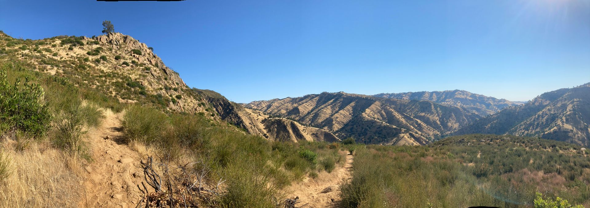
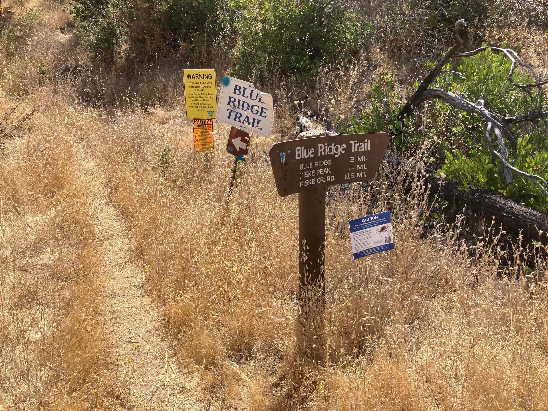
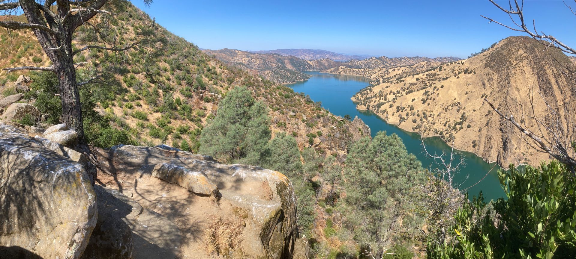
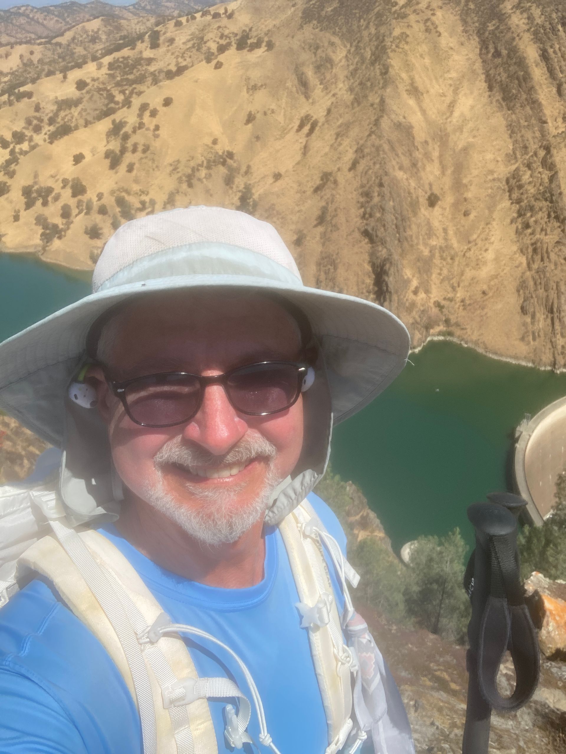
The Blue Ridge Trail to Fiske Peak from Cache Creek Regional Park

The Stebbins Cold Canyon Natural Reserve


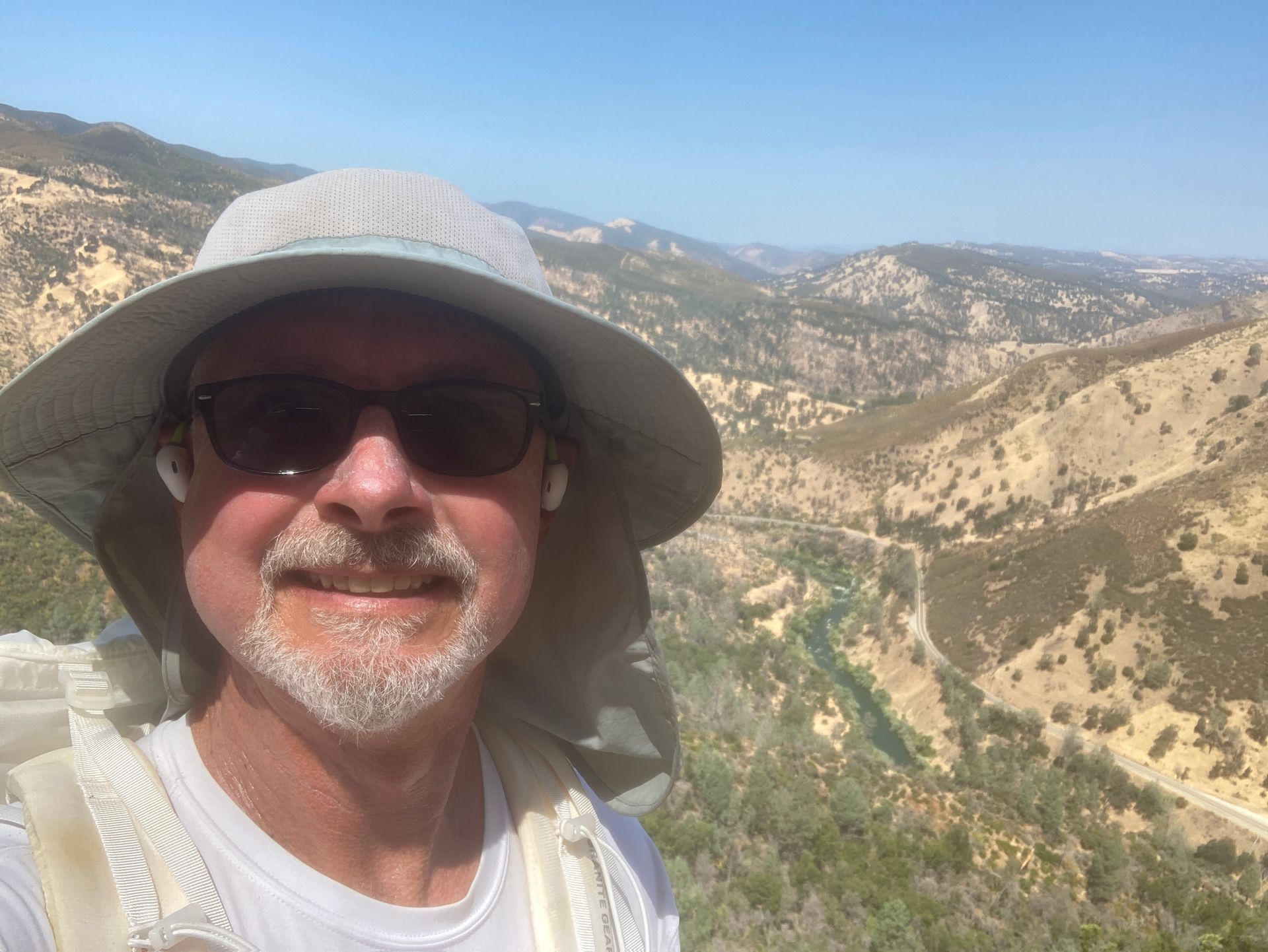
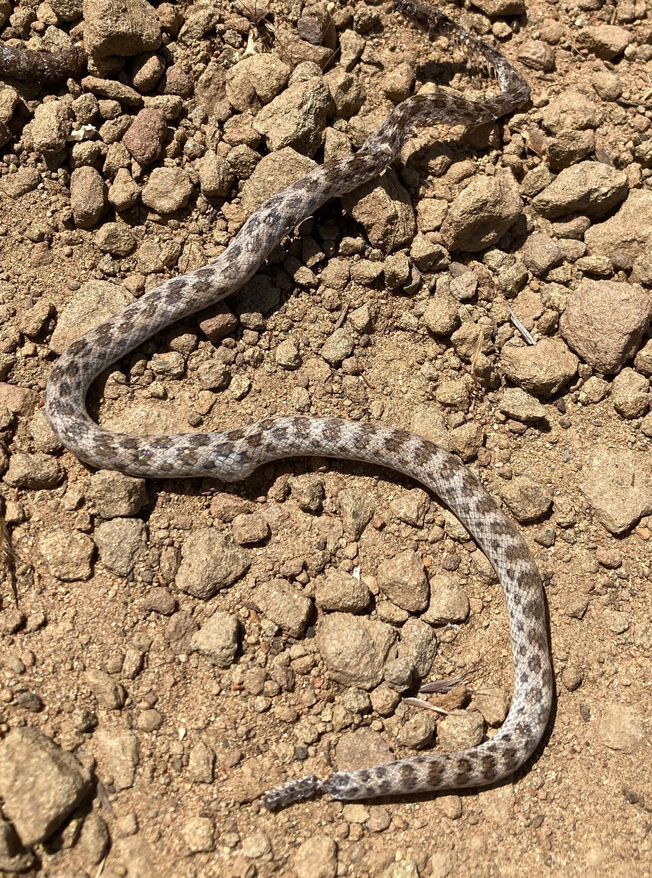
Pictures from last week:

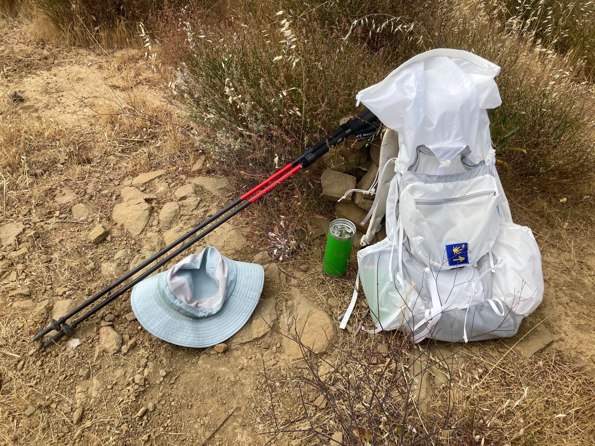
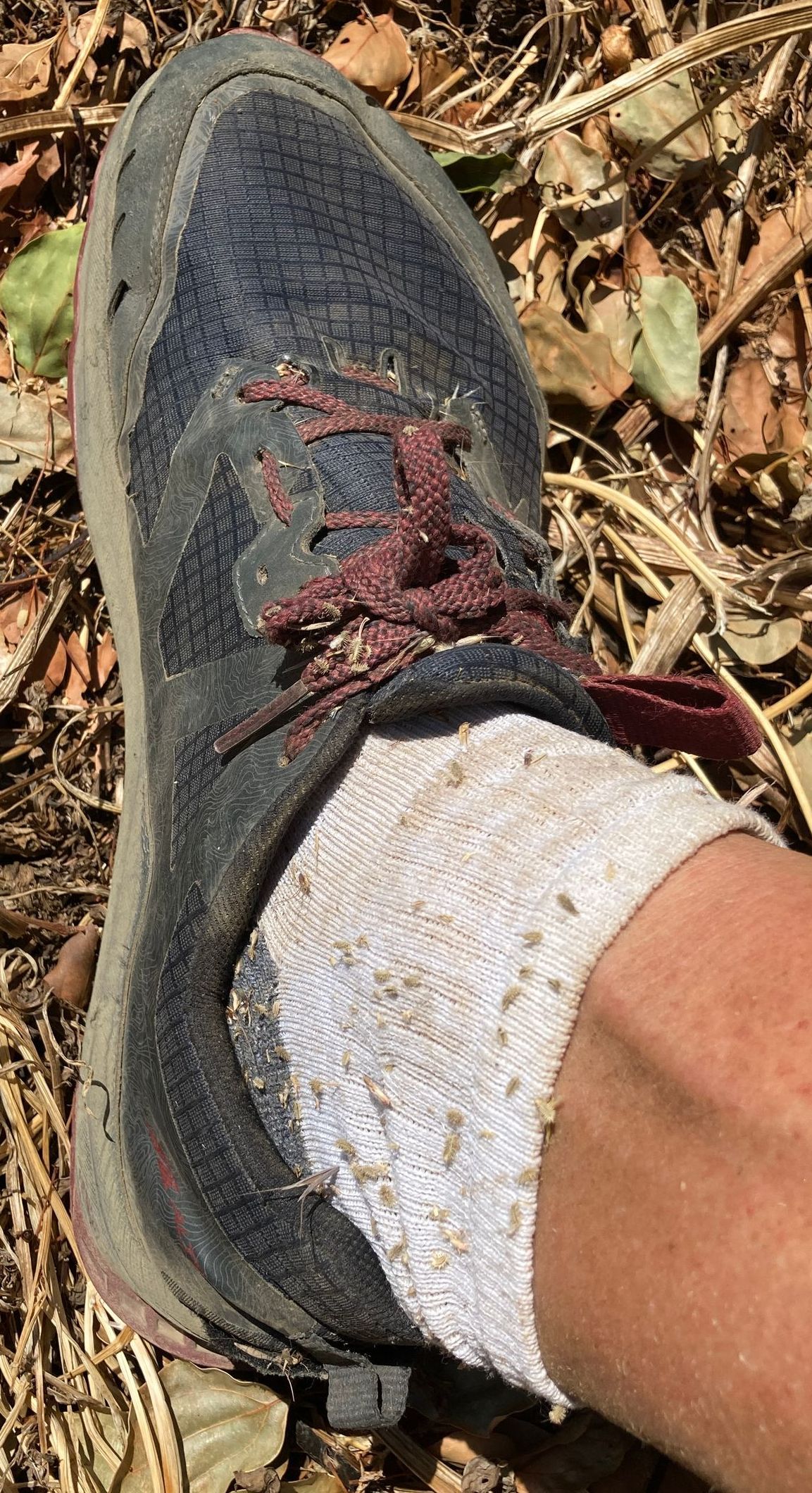
I've decided that I really like wearing gators for hiking this time of year.  They provide great protection for all sorts of uncomfortable things like woody brush that slices your legs, star thistle that pokes your legs, stickers that stick in your socks, rattlesnakes, and possibly ticks.  Probably not ticks but at least they will have to climb farther to get to some skin.  No ticks yet this year though!

Donate Here for Bill's Hike

Link to a new blog page

August 8, 2024

Hi Everyone,


Thanks for reading my blog here on the Tuleyome site.  And especially thank you to people who have donated to support Tuleyome and my hike.  For a few different reasons, I've decided to move this blog to the Blogger/BlogSpot platform.  That site will allow me to continue to use my phone  while I'm on the Tour du Mont Blanc.  I've duplicated all my previous entries on the Blogger/BlogSpot site too, so you can read those too if you want.  You just have to page down and click on "more posts".  You'll also be able to leave comments on the new site for each of the blog entries.


Here is the link:  https://bgtourdumontblanc2024.blogspot.com/

Please bookmark this new site and check it often!

Donate Here for Bill's Hike
Share by: