


Road 53 to Pierce Canyon Falls
AVAILABILITY
- Fitness: EASY
- Visible Signage: NO
- Parking: YES
- Horses: NO
- Pets: YES
- Restrooms: NO
- Mountain Biking: YES
- Overnight Camping: NO
Additional Resources
OVERSIGHT INFORMATION
- This road/trail is overseen by the Yolo County Public Works Division (YCPWD).
- No camping or campfires are permitted anywhere along the route.
For the most current information on the road's condition, closures, and fire restrictions contact the YCPWD.
HOW TO GET THERE
From Yolo County, take Highway 16 to Guinda. You have two options for where to park and start this hike.
- Option 1 is to park at the post office in Guinda, located across from the general store.
- Option 2 is to turn left at the Guinda general store, and drive one mile back to the end of the paved section of Road 53, and park on the side of the road. Option 2 takes two miles off the round trip. Just be sure to not block any gates or the roadway.
THE HIKE ITSELF
Be aware that while this is a public route of access, it does cross over private property. This means that if you leave the road, you will be trespassing. Respect the private property, stay on the road, and do not go beyond the end of the public right-of-way. The property owners are naturally wary of visitors, and have posted ample ‘no trespassing’ signs, but again, it is a public road, so know your rights and respect theirs, and everyone will get along fine. Also be respectful of the livestock you might encounter on this trail. Keep in mind that these animals represent the source of someone else’s livelihood. They are not be subjected to teasing, abuse or pranks.This hike takes place on a public road right-of-way. Between Rumsey and Winters, the entire Blue Ridge only has one county road that goes back any significant distance into the mountains, and this is it. Most other public roadways end either at the historic rancho boundary, or the base of the foothills. However, Road 53 is unique. According to the Yolo County Surveyor, Road 53 has been a public right-of-way since 1889. It’s a 50-foot wide right-of-way that goes into the foothills for over 5 miles. This distance matches almost exactly with the location of the ‘End of County Maintained Road‘ sign that is located at the end of the public section of the road.
After you get to the aforementioned gate, either climb over it (when it’s locked in the winter by the County) or open, walk through, and close it behind you. If you park at the Guinda post office, hike up Forrest Ave. (aka. Road 53) toward the mountains (west). At the end of the paved section of the road, the road will turn left (south) and you will see a gate. The gate will have two signs on it; the first sign will be in the center, and will read: “Livestock – Keep Gate Closed“. The second sign will say “No Trespassing“, and will have a handwritten message saying “All the land behind this gate is private property”. Trespassers will be prosecuted by the owner.” The sign is misleading. Yes, all the land is private, but it is a PUBLIC access road. So you may hike it or bike it. Again, stay on the road, and you are fine.
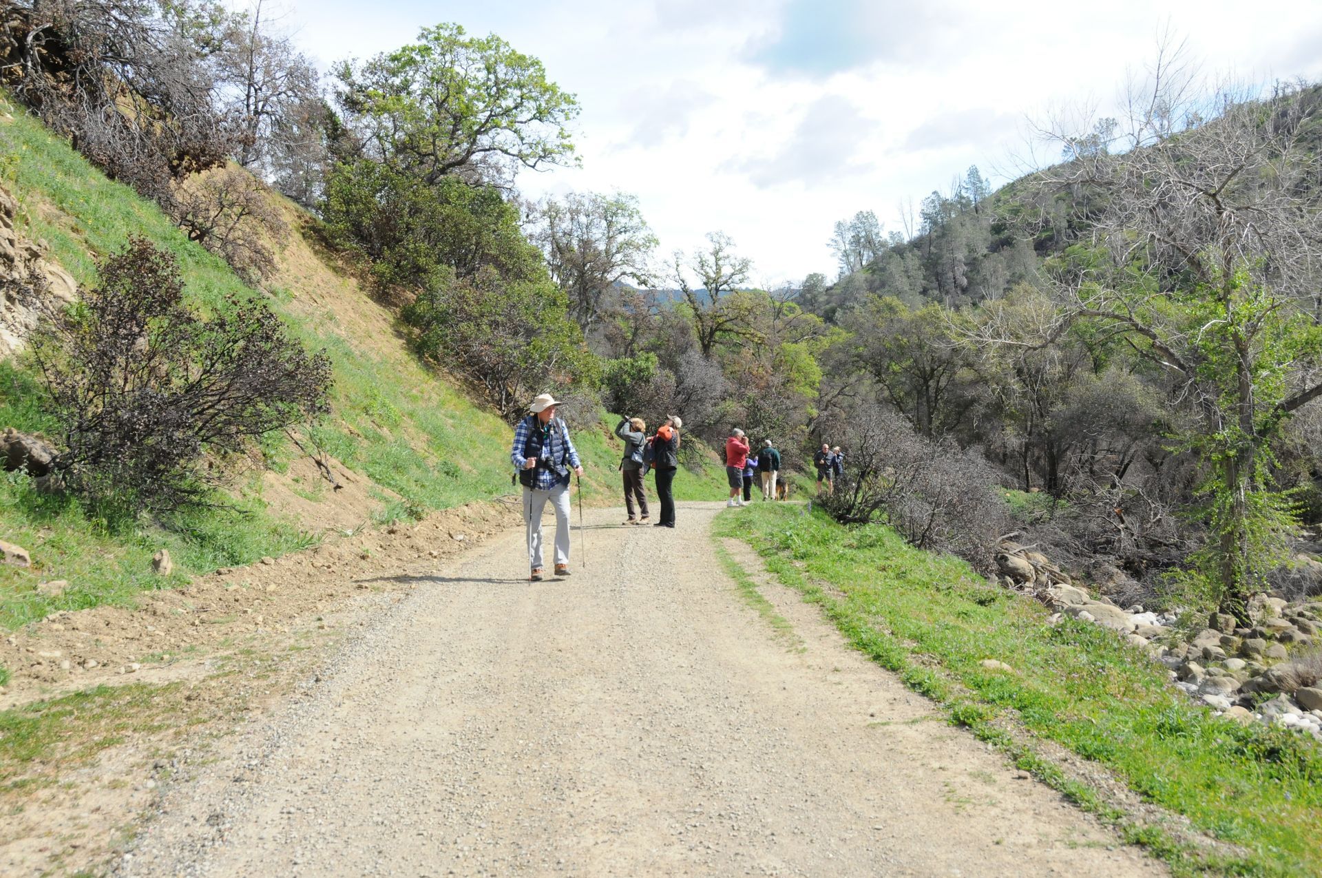
Hike along the access road, staying on the main road at all times. You’ll see a couple roads branch off to the left and right: Bud Light Drive (Hah!) is to the left, and the one with stone pillars on the right is a private drive that leads to Casey Flat Ranch. DO NOT WALK ON THESE SIDE ROADS; they are on private property. Stay on the main, straight Road 53.
You’ll wind your way up through Pierce Canyon, which has breathtaking steep cliffs, a nice creek, and beautiful oaks. Eventually you will bend away from the creek, heading into the hills. About 3 miles from the gate, you’ll get to the best view of the falls. As this is best view of the falls and the vista, you can end your walk here if you like (or continue on until the access road ends and you have to turn around).
Andrew Fulks, former Tuleyome Board President, says, “There is nowhere else in the Blue Ridge between Rumsey and Winters where you can see the private lands, oak woodlands, and wonderful gorges that are back there. This road/trail takes you into the heart of the mountains above the Capay Valley, and is truly a treasure. Use it, enjoy it, and make sure this public right-of-way stays in the public domain.”