INTRODUCTION
From the 1850's into the 1970's mercury deposits were mined in the upper Cache Creek and Putah Creek watersheds and processed to produce the elemental form known as “quicksilver.” Mercury mined in this region was used during the Gold Rush throughout much of the Sierra Nevada to amalgamate and recover gold particles from ore and placer deposits. More recently, mercury was mined during World War II for ammunitions and in the 1950-1970 period when mercury was used in hearing aids.
Regional Mercury Problems and Programs to Address Them
Most of the creeks and lakes in the Cache Creek and Putah Creek watersheds are "impaired" by mercury contamination. In waterways, elemental forms of mercury can be converted to methylmercury, a highly toxic and bioaccumulative form that is typically 10-million fold more concentrated in predatory fish than in the water. Eating contaminated fish can result in neurological damage particularly to fetuses during pregnancy and children. The current list of such water bodies is available HERE.
TMDLs (Total Maximum Daily Loads) are regulatory control plans have been developed already for Clear Lake and for the Cache Creek watershed below Clear Lake. Documents regarding these regulatory programs are available HERE.
A Brownfields Coalition Assessment project funded through USEPA’s Brownfields Program implemented in 2016-2019 identified and prioritized abandoned mines in our region, and performed assessments and developed cleanup plans for a select few.
KEEP UPDATED ON THIS PROGRAM
CLICK HERE to join the listserve for this specific program. Note: the link at the bottom of the webpage is for Tuleyome's email blast, not for information on this program.
CORONA AND TWIN PEAKS MINE
DRAINAGE TREATMENT PROJECT
Project overview
Tuleyome is implementing in 2016-2018 a $2.4 million dollar grant by the California Department of Fish and Wildlife's Ecosystem Restoration Program (ERP) to address drainage waters from the Corona and Twin Peaks Mines in northwest Napa County. Additional, related work is being funded by the Corona/Twin Peaks Historical Assoc., LLC, and the Napa County Regional Park and Open Space District. This page and its attachments contains information about the project.
Project heroes are the people who provided their knowledge, time, and talents to make this project a success: John Livermore was the landowner who initially purchased the land to clean it up and eventually put its ownership in a trust; Justin Smith was the long-time caretaker; Bob Schneider encouraged Tuleyome to seek grant funds to take on this Good Samaritan project.
Project goals are to (1) render the project site safe for public use; and (2) support healthy aquatic ecosystems downstream in James Creek, Pope Creek, Lake Berryessa, lower Putah Creek, lower Yolo Bypass, and the Delta.
Project objectives are to (1) improve the effectiveness of existing mine drainage treatment systems for the Boiler House and Twin Peaks entrances [referred to as “adits”]; (2) minimize leaching and mobilization of nickel and acid drainage from the mined ore body through the Corona Drain Tunnel; and (3) address physical and chemical hazards on the site.
CLICK HERE for more information about the Corona and Twin Peaks mines
CLICK HERE to view a brief presentation about the project.
Oat Hill Road - a Long and Lively History
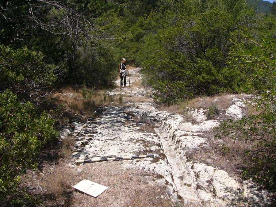
Major trails through these mountains converged in this area as far back as 1867. Oat Hill Road was completed in 1893 to connect Napa and Lake Counties over Mt. St. Helena. The road provided stage coach and wagon access to the mines, as well as a free alternative link to a toll road from Calistoga. The year-around spring water would have been a welcome respite for travelers riding up out of Napa Valley. Once the alternative toll road became a free public highway in 1924 and large-scale mining operations along the roadway ceased, the road fell into disrepair and was never paved. Today the road still provides a sense of history of wagons and horses traveling by where steel-rimmed wheels, supporting wagons loaded with mining supplies, ore, and passengers cut ruts in the road’s rock base. Chunks of cinnabar, presumably spilled from wagons, can be found along the roadway.
Project Files
Click on the name of any link for access
- Archaeological site report
- Initial Study/Mitigated Negative Declaration
- ERP grant agreement, E1596004-00
- Baseline biosentinel mercury monitoring report
- Baseline water quality monitoring results memo
- Corona Mine Above Ground Facilities Improvement Plan
- USEPA Action Memo for the drainage treatment project
- Corona Mine In-Situ Pilot Demonstration Plan
- Corona Mine Tracer Test Memo
- Quality Assurance Project Plan (QAPP) For Mine Drainage, Surface Water, and Biota Sampling
- Corona/Twin Peaks Revegetation Plan
- Corona/Twin Peaks Site Prep Plan
- Twin Peaks Mine Above Ground Facilities Improvement Plan
- Iron Precipitate Characterization and Onsite Repository Design
ADDITIONAL RESOURCES
- CERCLA-Good Samaritan Administrative Tools.
- Delta Tributary Mercury Council
- Difficulties with abandoned mines and suggestions on dealing with regulatory constraints.
- Fish Consumption Advisories and Safe Eating Guidelines by California’s Office of Environmental Health Hazard Assessment.
- Statewide Mercury Program for addressing mercury in California's waters.
Contact Information
Sandra Schubert, Project Lead
Phone: 530-350-2599
Email: sschubert@tuleyome.org
Stephen McCord, Project Manager
Phone: 530-220-3165
Email: sam@mccenv.com


