
May is National Wildfire Awareness Month
Nate Lillge • June 1, 2022

Trails can provide some clear space that may help you survive if caught in a wildfire

We all have seen and heard about wildfires - and these events are getting more frequent and much bigger. Defensible space and air quality index are terms that everyone knows and uses. Information is available on how to make our houses and other property as safe as possible during fires. But how should one prepare to enjoy our public lands during wildfire season?


Before heading out on the trail, check the weather forecast and wildfire danger. Although infrequent, thunderstorms do occur in the Berryessa Snow Mountain National Monument region. The LNU Complex Fires of 2020 were started by multiple lightning strikes that started several fires that combined to create the sixth largest fire in California’s history. Social media, weather and fire apps are good resources, but ranger stations and field offices have the most up-to-date information – be sure to check in with the staff there. If the danger is too great, avoid going out on the trail.


If you see smoke while on the trail, stay calm. Take note of the amount of smoke as well as the direction and distance. Get off the trail and to safety as quickly as possible. Getting to safety quickly may require you to leave your gear to lighten your load. When you have reached safety, call 911 to report the fire, even if you think someone else has already reported it.


Move out of the path of the fire – you will not outrun the blaze. Head downhill as much as possible as fires tend to move uphill faster than downhill. Avoid forests or other heavily vegetated areas like chaparral, streamsides, or next to ponds/lakes. Do not shelter in locations that can act as wind tunnels and intensify the heat and flames, like canyons and ravines.
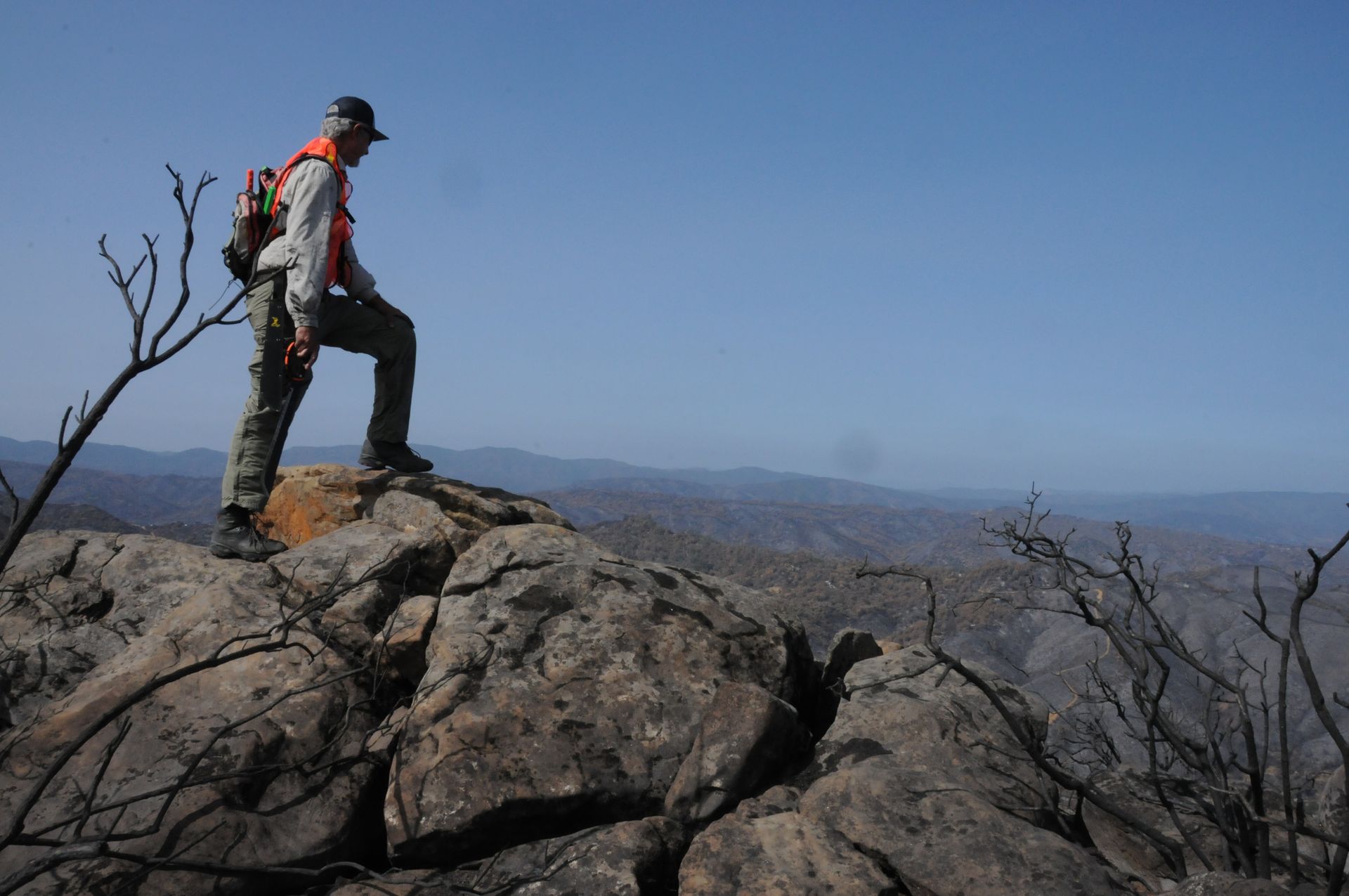
Remember to stay alert on the trail!

In the unlikely event that you are caught in the fire, find a depression in a meadow or open area with a small fuel load. Clear debris and other material away and, if time, dig a small hole for your face. You can also shelter behind large rocks which can block the heat and flames. Sheltering IN streams or lakes is another option, just be sure to move away from of the vegetation next to the water. If the fire overtakes you, stay calm. Lie face down with your feet toward the approaching fire. Cover your face, mouth, and nose with a piece of cloth. Synthetic clothing has a lower melting temperature than natural fibers – remove these if possible.


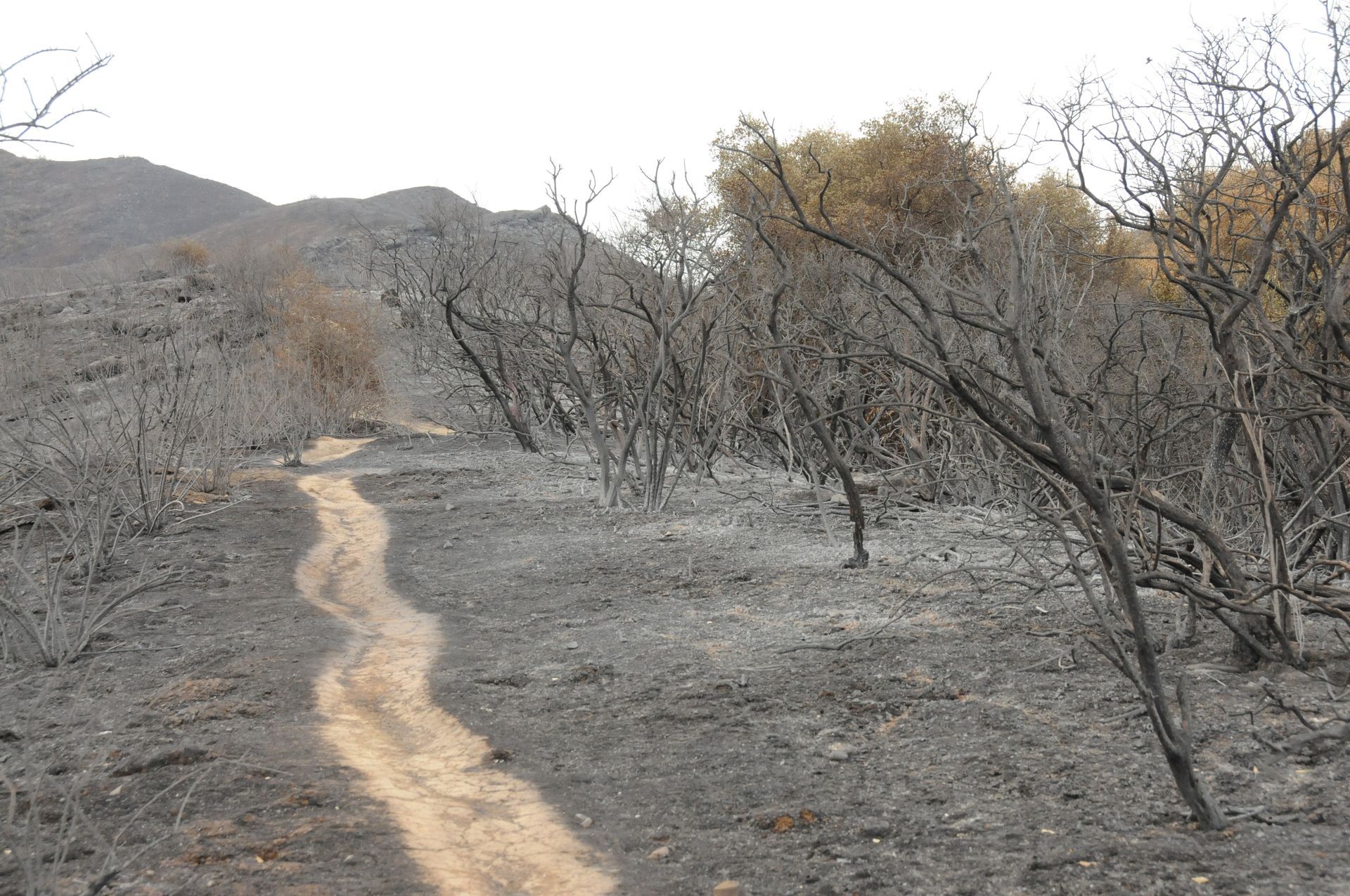
After the fire has moved on, get to safety as quickly as safely possible. Move away from the fire – moving through a recently burned area generally means that there is less fuel available. Be aware of the dangers – hot areas, spitting embers, and burning trees. The roots of trees may still be burning or have already burned which may create a void underground which could collapse when you step on it.


Whenever you head out on the trail, stay vigilant and aware of your surroundings. Refrain from listening to music so you can hear any possible danger, look up so you can see hazards. Be prepared - know where you are, where you are going, and have escape routes. Make sure that someone (who is not on the trail with you) knows where you are going and when you plan to be back. And make sure to let them know when you have safely returned!


-Nate Lillge; nlillge@tuleyome.org


Adventures and Engagement Director

RECENT ARTICLES
August 7, 2026
Our wildest areas are under threat. In June, the Administration moved to weaken protections for our wildest public lands - those designated as wilderness, Wilderness Study Areas, Lands with Wilderness Characteristics, and recommended Wilderness. What do these areas represent? Millions of acres of untrammeled backcountry. The Department of the Interior, US Forest Service and National Park Service initiated the first step in unraveling these protections. They’ve called for a “review” of eight policies, opening the door to weaken protections and paving the way for short-term extractive industries, commercial development, and resource fragmentation at the expense of long-term conservation management of some of our wildest remaining public lands. Nearly 200 million acres of wildlands across the west could be impacted by this review, including approximately 120 million acres of Wilderness Study Areas and wilderness quality lands, and 75 million acres of designated wilderness areas. This includes the nearly 94,000 acres in Cache Creek, Cedar Roughs and Snow Mountain Wilderness areas in Berryessa Snow Mountain Nation Monument right here in our own region. These policies guide how federal agencies identify, manage, and steward designated Wilderness Areas, Wilderness Study Areas, and lands with wilderness characteristics. Together, they influence the management of millions of acres of federal public lands and translate statutory requirements into day-to-day management decisions. Continuing to protect wilderness qualities is consistent with protecting recreation. In many cases, wilderness-quality land provides the best opportunities for backcountry recreation; a CA outdoor industry responsible for 545,448 direct jobs valued at $38.1 billion. The total value-added worth of CA outdoor recreation is $81.5 billion, 2.2% of our gross domestic product. The Department of the Interior’s actions present a false choice between stewarding wilderness lands and providing opportunities for recreation. Let’s tell the Administration that we oppose these rollbacks and are committed to protecting our wild places. Sign on to the Wi lderness Review- National Sign-on Letter opposing five different actions across the three agencies by August 12th. Together, we can show this administration that we care about protecting these special places today and into the future. Sandra Schubert Executive Director
August 7, 2026
I first heard about Tuleyome when I retired early from UC Davis eight years ago. I was looking for local organizations for volunteer opportunities. I discovered Tuleyome and got connected with Bill Grabert and Nate Lillge. I helped them lead hikes and school programs, then took the CA Naturalist course through Tuleyome. My capstone project was to lead a backpacking trip into the Cache Creek wilderness, which I did just as COVID was descending on us. I was, and still am, impressed at how such a small local non-profit has both ensured preservation of important wild areas and invested heavily in outreach to local schools. Working with kids from Lake County in the Redbud area was eye-opening and extremely gratifying. Some of them had literally never been on a hike in spite of growing up so close to all that spectacular wild land! I donate to Tuleyome to help them keep up the great work!!! I’ve spent countless days hiking in and enjoying the Cache Creek area; what a gem of a local resource! And, only last spring was I able to get up to Snow Mountain…so glad it’s preserved and accessible for camping and hiking. Wow! A wilderness area near my home - that’s amazing. I’m incredibly grateful for Tuleyome’s hard work that resulted in preservation of these important wild places, and I look forward to seeing what’s next.
By Kristie Ehrhardt August 7, 2026
Driving around the Berryessa Snow Mountain National Monument one rainy day revealed a network of dirt roads that were slick as snnn… well, you probably know. The wet weather made driving less than optimal for the Subaru we were in but for our amphibian friends, the low-riding California newt, the warm, misty conditions were sublime. California Newts ( Taricha torosa ) are endemic to California, which means that they are extra special because they are only found here. They occur below 6,000 feet along the Coast Ranges from Mendocino County south to San Diego County. They are also found in the foothills and western slopes of the Sierra Nevada in the San Joaquin Valley with a few isolated populations in southern San Diego County. They utilize both wetland habitat including natural and artificial pools and ponds, reservoirs, creeks and streams for breeding during winter and spring, and upland areas such as chaparral and woodland habitats where they spend summer and fall. California Newts have stubby little toes attached to short, stocky legs. Adults range from about two and three quarters inches to about three and a half inches long, not including the tail. Their bellies and undersides of their neck and chin are bright golden yellow to orange with a reddish-brown to slate gray back. California Newts reproduce from late fall to early summer depending on rainfall amounts and habitat conditions. Adults migrate from their upland refugia to their preferred wetland to breed. Eggs are attached to submerged vegetation or under rocks and females can lay up to six masses of nearly 50 eggs a day. The eggs hatch in two to six weeks depending on water conditions and temperature. Larvae are aquatic and have gills and fins. After several months the larvae begin to exit the pond and set about metamorphosing into adults and do not return to the pond again until they are ready to breed. Larvae eat small aquatic invertebrates and organic matter; adults eat insects, slugs, snails and worms as well as other amphibian eggs and larvae. Adult California Newts are highly toxic. Like other members of the genus Taricha , adults have glands on their skin that secrete the potent neurotoxin tetrodotoxin - the same toxin that is found in harlequin frogs and pufferfish. Side note, this makes them poisonous rather than venomous (like rattlesnakes). Tetrodotoxin is hundreds of times more toxic than cyanide and potent enough to kill most vertebrates. The toxin affects sodium channels and makes it so neurons are unable to fire which results in lethal muscle paralysis. One of the only predators of adult California Newts are garter snakes. Garter snakes are one of the very few organisms that have evolved to develop a resistance to the tetrodotoxin produced by the newts. Garter snakes can ingest the toxic newts with limited effects which has created an evolutionary arms race (coevolution). As the garter snakes develop stronger immunity to the toxins only the most poisonous news survive which in turn results in future generations of news with even stronger toxins. This leads to a population of garter snakes that have developed a resistance to the stronger toxin levels and and on it goes. Loads of them were bumbling along the edges of the wet dirt road that rainy day. We made several stops to relocate those that were attempting to cross but seemed to stall out in the middle, always placing them facing the direction they were aimed. I don’t know if they were heading out to their natal ponds to mingle and breed, or on their way back to nap in their upland refugia but they were definitely enjoying the day. The California Newt is currently a California Species of Special Concern due to habitat loss and invasive non-native species introduction which makes seeing so many of these little stumpy legged tetrapods enjoying the Monument even even more groovy!