Oversight information
- This refuge is part of the United States system of National Wildlife Refuges and is overseen by the US Fish and Wildlife Service USFWS), Pacific Southwest Region.
- No camping or campfires are allowed anywhere on the refuge.
- Hikers must remain on designated trails at all times.
- Auto-tour drivers must remain in their vehicles.
For the most current information on trail and auto-tour route condition, closures, and other restrictions contact the USFWS.
How to Get There
The Sacramento National Wildlife Refuge is located at 752 County Road 99W, Willows, CA 95988.
To get to the refuge:
- Take I5 North past the city of Williams, CA north to the exit at Princeton/Road 68.
- Turn right at the offramp (onto Road 68/Princeton)
- Then make a left at the first intersection (Highway 99 West)
- Stay on Highway 99 West for about 1-1/2 miles.
- You’ll see the signs for the refuge on the right side of the road.
- Turn RIGHT into the entrance and pay at the kiosk.
- Past the kiosk is the parking lot.
Overview
The Sacramento National Wildlife Refuge (south of Willows, CA) is actually only one facet of a much larger complex of sites that also includes the Delevan National Wildlife Refuge (east of Maxwell, CA), the Butte Sink National Wildlife Refuge (northeast of Colusa, CA), the Colusa National Wildlife Refuge (between Williams and Colusa, CA), the Sutter National Wildlife Refuge (southwest of Yuba City, CA), and the Sacramento River National Wildlife Refuge (which is made up of several noncontiguous sites between Princeton and Red Bluff, CA.) In total, this complex covers about 35,000 acres.
On this page, we’ll be focusing solely on the Sacramento National Wildlife Refuge site.
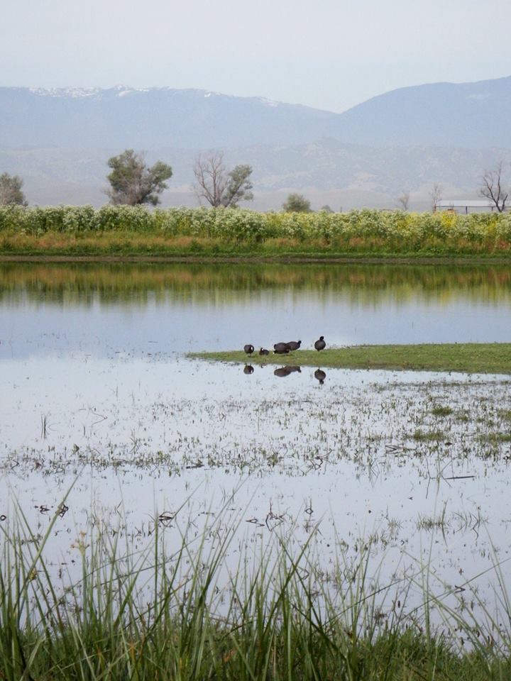
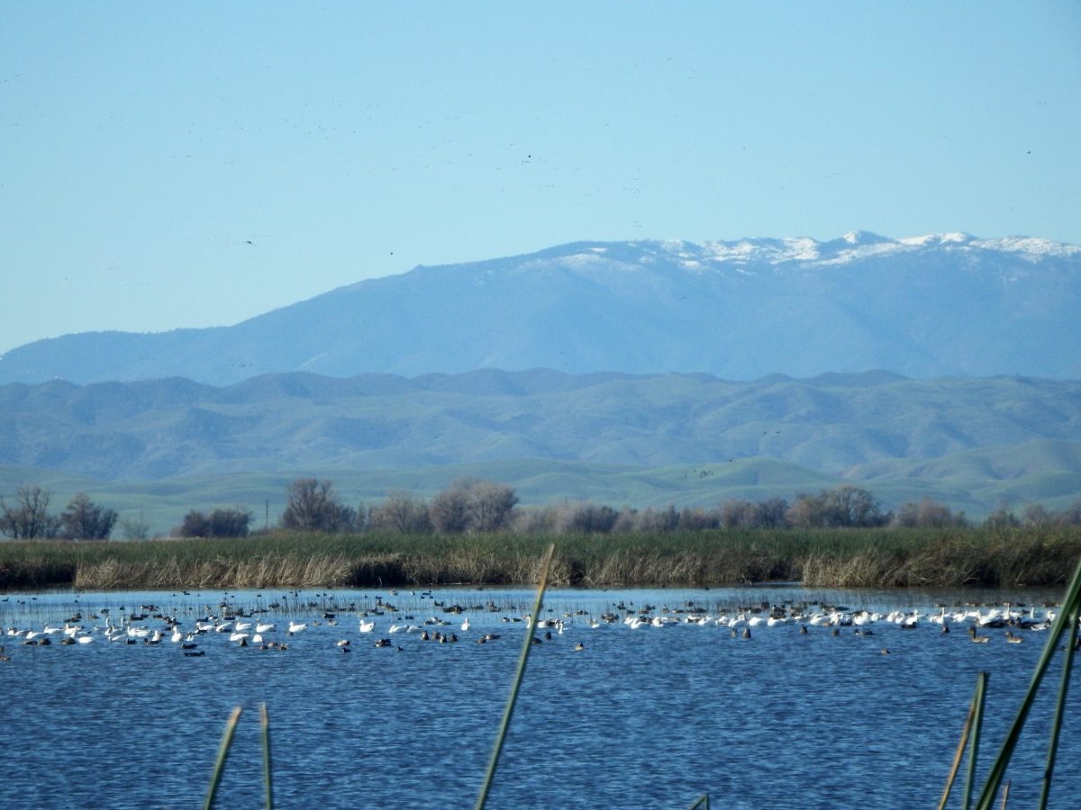
According to the refuge’s website: The 10,783-acre refuge consists of about 7,600 acres of intensively managed wetlands, uplands, riparian habitat, and vernal pools. It typically supports wintering populations of more than 600,000 ducks and 200,000 geese. The refuge supports several endangered plants and animals, including transplanted colonies of palmate-bracted bird’s-beak, several species of fairy shrimp, vernal pool tadpole shrimp, giant garter snake, wintering peregrine falcon, bald eagle, and breeding tricolored blackbird. Resident wildlife includes grebe, heron, blackbird, golden eagle, beaver, muskrat, black-tailed deer, and other species typical of upland and wetland habitats.
There is a nominal fee to enter and park at the refuge (via a self-pay kiosk at the entrance which can take cash or credit cards), and yearly passes are also available. The visitor center is adjacent to the parking lot and there is also a restroom facility and picnicking area here.
The two-mile Wetland Walk trail is an accessible trail from the visitor center. The Logan Creek Trail is six miles and is open from February 15 through June 30. Fourteen in-ground concrete blinds and one above ground site are available along the trail on a first-come, first-serve basis for photographers. CLICK HERE for a brochure about the trails.
The driving tour is an easy 6-mile loop that takes you through portions of the wetlands areas. You have to stay in your vehicle — and use it like a duck blind — for most of the loop, but there are a few rest stops along the way where you can get out and look around, as well as a large viewing platform (which has a small outhouse adjacent to it.) Drive slowly so you don’t miss anything.
Availability
- Fitness: easy
- Visible Signage:
- Parking:
- Horses:
- Pets:
- Restrooms:
- Mountain Biking:
- Overnight Camping:


