Disponibilidad
-
● Nivel de dificultad: DIFÍCIL
● Señalización visible: ✓
● Estacionamiento: ✓
● Caballos: x
● Mascotas: ✓
● Baños: x
● Ciclismo de montaña: x
● Acampar: ✓
oversight information
- This trail is overseen in by the Bureau of Land Management (BLM)'s Ukiah Field Office, the California Department of Fish and Wildlife (DFW) and private property owners (easements).
- Camp fires are permitted ONLY on BLM portions of the trail. Contact the BLM for specific information.
- Camping is allowed on the peak.
How to Get There
From Yolo County (Winters), take Highway 128 toward Lake Berryessa. At the intersection of Highways 128 and 121, stay on Highway 128 (to the right). At the Turtle Rock Bar, turn right onto the Berryessa Knoxville Road. Continue on the Berryessa Knoxville Road all the way past Lake Berryessa, over both the Pope Creek and Putah Creek bridges, and head up into the mountains. The road will narrow and roughen after you pass Lake Berryessa; you’re now driving on Knoxville Road. At mile marker 20.00 on Knoxville Road, pull off to the side of the road and park. The trail begins on the east side of the road.
This hike starts within a 12,575-acre part of the Knoxville State Wildlife Area and continues through a a public trail easement on private land, ending on Bureau of Land Management (BLM) public land.
The Hike Itself
This is a hard one! To reach the summit of Berryessa Peak, you will hike approximately 7.25 miles, one way, with 3500-feet of elevation gain. There is only one way in and one way out of the public lands this trail provides access to, so bring enough water, food, and emergency medical supplies.
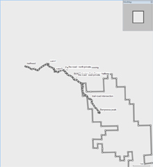
If you pass off the public land, you will be trespassing, so use your map and GPS and stay on the trail! The downloadable map (below) shows property boundaries and the trail location, as well as images from along the trail to use as reference. Only those in excellent physical shape should attempt to reach the summit of Berryessa Peak!
You will start from Knoxville Road, at mile marker 20.00. The trail is on the east side of the road.
Cross over the smooth-wire fence and head east, up the canyon on an old ranch road (now a trail).
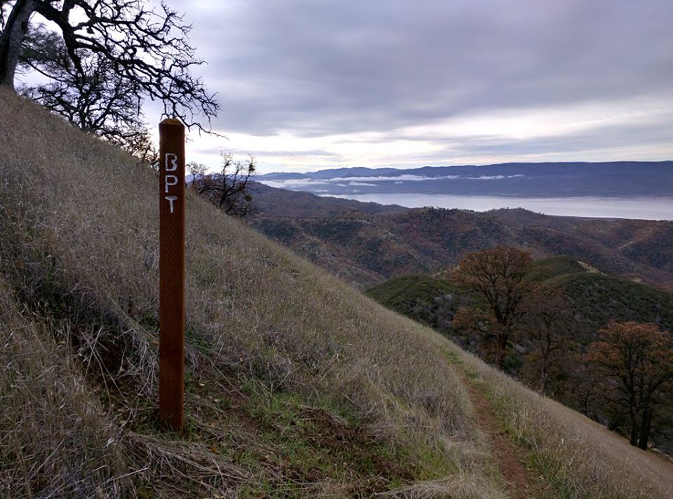
After 1.6 miles, you will see a 4×4 trail marker at an intersection of the ranch road you are on, and another road that climbs up a hill to the south. Turn and take the old road to the south. Continue on this road. After approximately 1 mile you will see the last 4×4 trail marker that marks the transition to the beginning of a steeper climb. After an additional half-mile, which includes the steepest sections of the entire trail, you will arrive at a fence. To the east (the direction of the ridge) you will see a sign that says, ‘Hartwig Ranch – Keep Out’. Cross over the fence south of the sign, using the wooden stile. Stay on the trail! The rest of the property is privately owned, and access over the stile was granted by a conservation easement.
The trail continues past this point as a foot path. If you opt to only go halfway, there is a nice picnic spot on the ridge slightly less than one mile from the easement fence crossing. You can get to the ridge by climbing up a small draw. Look for a grove of oaks and pines to mark the site. This is as high as this section of trail will get to the ridge proper.
Continue on the trail as it begins to drop, slowly, into Green Canyon. Along the way you will see some gorgeous palisades. These are on private property so, once again, stay on the trail. Once you are at the bottom of Green Canyon you will have passed onto Bureau of Land Management (BLM) public lands and will remain on BLM land for the rest of the hike.
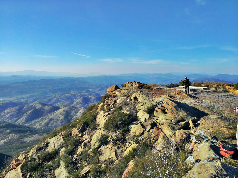
The trail climbs out of Green Canyon, crosses another small drainage, then begins to again climb to the ridge. After 1.5 miles you will find the end of the hiking portion of the route at an intersection with a gravel service road. Continue south on the service road for another 1.2 miles to the summit of Berryessa Peak and the transmitter towers.
Información de supervisión
-
● Este sendero está supervisado por la Oficina de Administración de Tierras (BLM), Oficina de Ukiah, el Departamento de Pesca y Vida Silvestre de California (DFW) y los propietarios privados.
● Las fogatas están permitidas SÓLO en las partes del sendero de la BLM. Póngase en contacto con la BLM para obtener información específica.
● Se permite acampar en el pico.
Cómo llegar
Desde el condado de Yolo (Winters), tome la autopista 128 hacia el lago Berryessa. En la intersección de las carreteras 128 y 121, manténgase en la carretera 128 (a la derecha). En el bar Turtle Rock, gire a la derecha en la carretera Berryessa Knoxville. Continúe por la carretera Berryessa Knoxville hasta pasar el lago Berryessa, sobre los puentes Pope Creek y Putah Creek, y diríjase a las montañas. La carretera se estrechará y se hará más áspera después de pasar el lago Berryessa; ahora está conduciendo por la carretera de Knoxville. En el punto de la milla 20.00 de la carretera de Knoxville, salga a un lado de la carretera y estacionese. El sendero comienza en el lado este de la carretera.
Esta caminata comienza en una parte de 12,575 acres del Área de Vida Silvestre del Estado de Knoxville y continúa a través de un sendero público en tierras privadas, terminando en tierras públicas de la Oficina de Administración de Tierras (BLM).
La caminata
¡Esta es una de las más difíciles! Para llegar a la cumbre del pico de Berryessa, tendrá que caminar aproximadamente 7.25 millas, de ida, con 3,500 pies de elevación. Sólo hay una manera de entrar y otra de salir de las tierras públicas a las que da acceso este sendero, así que lleve suficiente agua, comida y suministros médicos de emergencia.
Si se sale de los terrenos públicos, estará invadiendo propiedad privada, así que utilice su mapa y GPS y quédese en el camino. El mapa descargable (lo encontrará más abajo) muestra los límites de la propiedad y la ubicación del sendero, así como imágenes de la ruta para usar como referencia. ¡Sólo aquellos que estén en excelente forma física deberían intentar alcanzar la cumbre del Pico de Berryessa!
Usted comenzará a partir de Knoxville Road, en el punto de la milla 20.00. El sendero está en el lado este de la carretera.
Cruce la valla de alambre y vaya hacia el este, subiendo el cañón por un antiguo camino de rancho (ahora un sendero).
Después de 1.6 millas, verá un marcador de sendero 4×4 en una intersección del camino del rancho en el que está, y otro camino que sube una colina hacia el sur. Gire y tome el antiguo camino hacia el sur. Continúe por este camino. Después de aproximadamente 1 milla verá el último marcador de sendero 4×4 que marca la transición al comienzo de una subida más empinada. Después de media milla adicional, que incluye los tramos más empinados de todo el sendero, llegará a una valla. Hacia el este (la dirección de la cresta) verá una señal que dice "Hartwig Ranch - Keep Out". Cruce la valla al sur de la señal, utilizando el listón de madera. Manténgase en el sendero. El resto de la propiedad es privada, y el acceso a través de la valla fue concedido por una servidumbre de conservación.
El sendero continúa más allá de este punto como una vereda. Si opta por ir sólo hasta la mitad, hay un bonito lugar de picnic en la cresta a algo menos de una milla del cruce de la valla de acceso. Puede llegar a la cresta subiendo por una pequeña pendiente. Busque un bosquecillo de robles y pinos que marcan el lugar. Esto es lo más alto que este tramo de sendero llegará a la cresta.
Continúe por el sendero mientras comienza a descender, lentamente, hacia el Cañón Verde. A lo largo del camino verá unas preciosas empalizadas. Éstas se encuentran en propiedad privada, así que, nuevamente, manténgase en el sendero. Una vez que llegue al fondo del Cañón Verde, habrá pasado a tierras públicas de la Oficina de Administración de Tierras (BLM) y permanecerá en tierras de la BLM durante el resto de la caminata.
El sendero sube desde el Cañón Verde, cruza otro pequeño desagüe, y luego comienza a subir de nuevo a la cresta. Después de 1.5 millas, encontrará el final de la parte de la ruta que va de excursión en una intersección con un camino de servicio de grava. Continúe hacia el sur por el camino de servicio durante otros 1.2 millas hasta la cumbre del pico de Berryessa y las torres de transmisión.
Availability
- Fitness: difficult
- Visible Signage:
- Parking:
- Horses:
- Pets:
- Restrooms:
- Mountain Biking:
- Overnight Camping:


