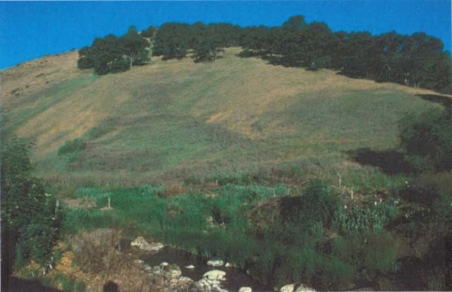
Huber Ranch
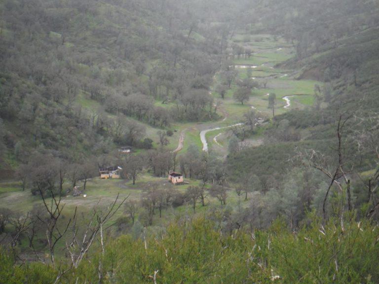
On October 17, 2018, Tuleyome closed escrow on the 160-acre Huber Ranch, located above the popular Cold Canyon Natural Reserve. The property is bounded on 3 sides by the Berryessa Snow Mountain National Monument, and is adjacent to Tuleyome’s Headwaters property, which includes the popular Annie’s Trail. With your help, Tuleyome was able to purchase the Huber Ranch to extend protection of the Cold Canyon and Wildhorse Canyon watersheds, and open additional hiking opportunities.
Our goal is to open the route to top of the un-named eastern mountain as soon as possible. This will take creation of signs and installation of fencing and gates to keep visitors on the right path and off of neighbor’s property. Respecting our neighbor’s privacy and their enjoyment of their property is paramount when planning for public use of the Huber property. Once open, the Huber ranch will be accessible on foot from the Cold Canyon trailhead.
The hardest part, purchasing the property, has been completed. We now need your help to open the ranch. Our fundraising goal for the property is to fund the purchase as well as the improvements needed to open it to the public, so your help is critical in allowing public enjoyment of this amazing new property. DONATE TO TULEYOME TODAY.
CLICK HERE to download a brochure on the ranch.
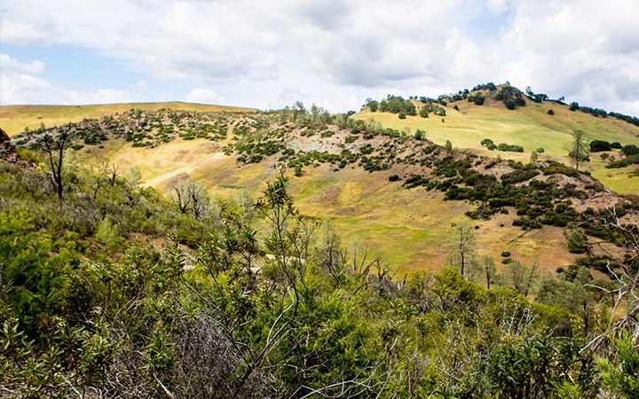
Silver Spur Ranch
This property was acquired in 2016. This 1,280-acre ranch in Lake County is in the heart of the National Monument, and includes gorgeous oak woodlands, rare plants, two miles of the North Fork of Cache Creek, and the headwaters of Benmore Canyon.
As it is developed, the ranch will be open to the public for hiking, biking, horseback riding, naturalist workshops, and camping. All of this is part of Tuleyome’s Land Trust component. CLICK HERE to read more about this property.
APN: 016-029-190-000, 016-036-040-000, 016-029-190-000,016-017-030-000 and 016-016-010-000
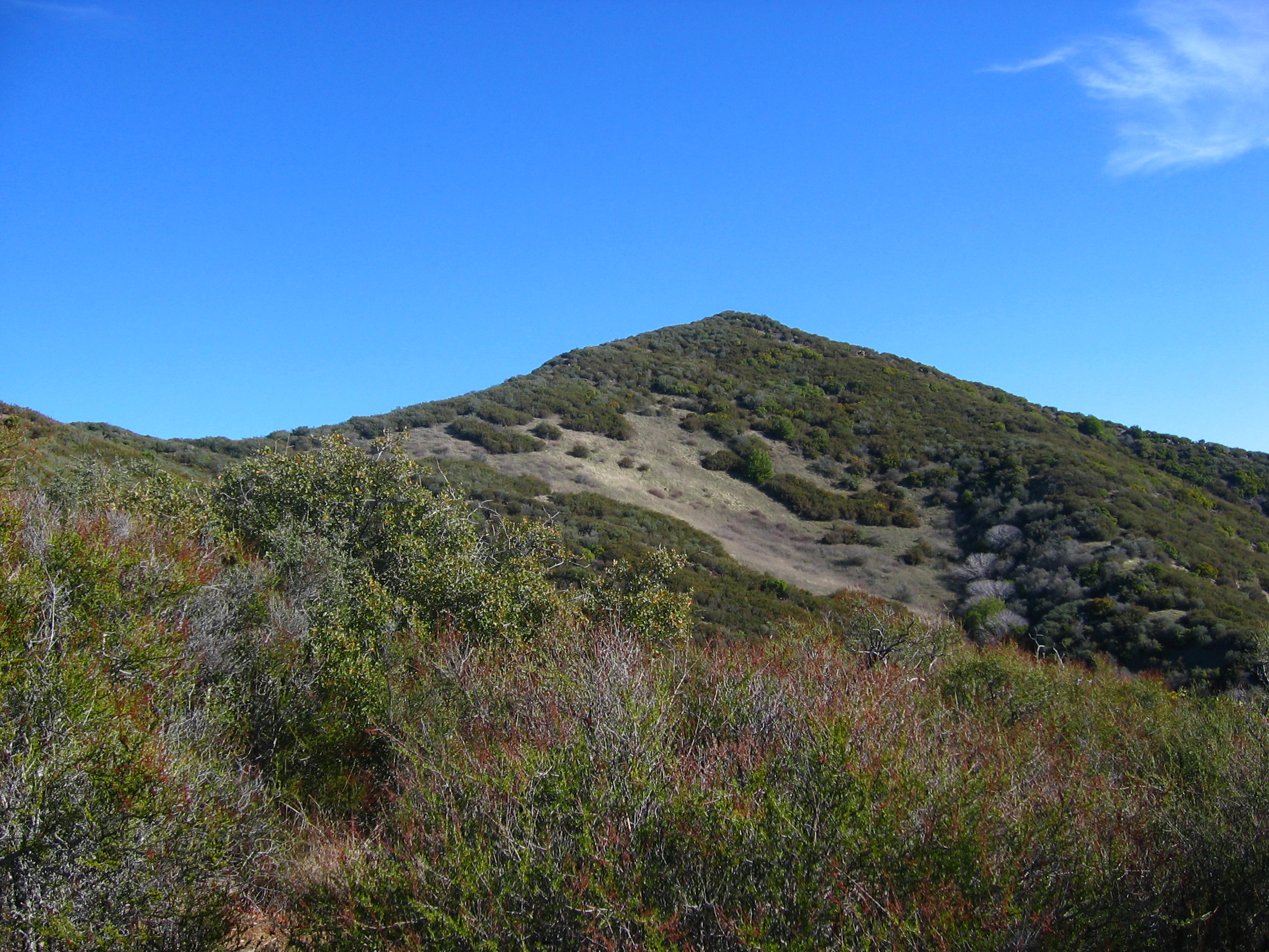
Goat Mountain Property
The Goat Mountain parcels were acquired in 2011 and constitute a total of 664 acres on the southern flank of Goat Mountain. The mountain, with its summit of 6121-feet, straddles the line between Lake and Colusa Counties. Tuleyome’s property is on the Lake County side, and is situated between the elevations of 2800-feet and 4000-feet. CLICK HERE to read more about this property.
APN: 002-035-030-000, 002-035-020, 002-038-010 and 002-033-020
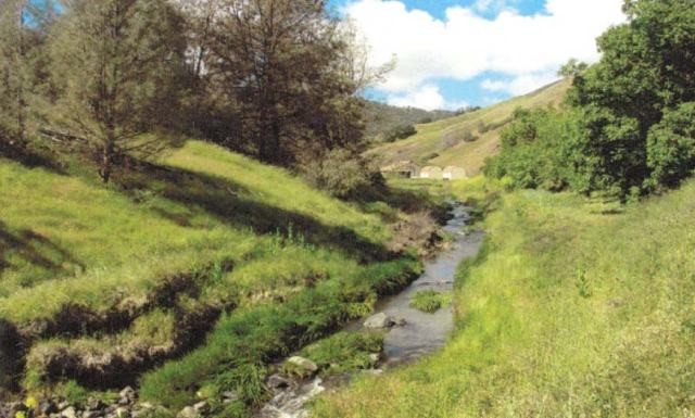
Cold Canyon Head Waters Property
Tuleyome acquired this 70-acre property in 2010 to protect the Cold Canyon Headwaters above the Stebbins Cold Canyon Reserve south of Highway 128 near the Monticello Dam. Situated in Solano County, the property abuts the UC Reserve to the north and Bureau of Land Management properties on the east and west. CLICK HERE to read more about this property.
In the wake of the 2015 and 2016 wildfires, Tuleyome volunteers expended hundred of hours to perform trail maintenance and restoration work along the trails under our #DonateToRestore campaign.
Ireland Ranch
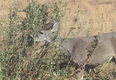
Tuleyome acquired the Ireland Ranch property in 2006. It encompasses 640 acres in Yolo County, high on the east side of the Blue Ridge about 15 miles northwest of Winters, CA. The ranch includes a natural spring, the 150-year old homestead location of the Scott cabin, the headwaters of Salt Creek, Enos Creek, and Pine Creek, blue oak woodlands, chemise, grasslands and rocky outcroppings. Home to bobcat, mountain lion, and black bear, the ranch also provides a haven for wildlife. CLICK HERE to read more about this property.
APN: 047-110-02-1 and 047-110-04-1
The Varni Parcel
The 20-acre Varni Parcel was purchased in 2014 and is located in Lake County and lies on a slope on the edge of Morgan Valley adjacent to Bureau of Land Management (BLM) public lands and the McLaughlin Unit of the UC Natural Reserve System. Tuleyome bought the parcel to conserve and protect it until it could be turned over to the Reserve System for conservation and educational purposes. the parcel was turned over to the UC Natural Reserve System in late 2015.
APN: 012-018-24
Easements
McCloskey Easement: This conservation easement was acquired from Pete and Helen McCloskey in 2008, and is comprised of 30 acres. This Capay Valley conservation easement protects a diverse riparian ecosystem with a variety of distinctive land forms associated with the natural hydrologic processes of Cache Creek, including a braided section of the creek, sand and gravel bars, terraced floodplains, and intermittent stream channels. Frontage on Cache Creek and natural flooding supports excellent riparian habitat, and numerous other natural communities throughout the property.
Sulphur Creek Easement: This conservation easement was turned over to Tuleyome in 2012 from the American Land Conservancy. It is comprised of 1200 acres. Located on Walker Ridge, about ten miles east of Clear Lake, this conservation easement abuts Bureau of Land Management (BLM) land, and protects Sulphur Creek, which flows into Bear Creek, then onto Cache Creek, and eventually the Yolo Bypass. Water in this stretch of Sulphur Creek is saline due to geothermal activity, and high in mercury content due to the history of mining in the region. Prior being transferred to Tuleyome, Sulphur Creek and the Wilbur Hot Springs area went through a four-year restoration process to eradicate Tamarisk and other invasive plant species, and otherwise improve ecological functionality of the watershed. Highlights of this restoration work include nearly complete eradication of Tamarisk in the project area, development of a re-vegetation program to promote environmental education and continued stewardship, and the establishment of research projects to evaluate rhizomatous plant species for floodplain stabilization, and saline irrigation for native grass restoration & invasive plant suppression.