Disponibilidad
oversight information
- This trail is overseen by the California Department of Fish and Wildlife (DFW)
- Camping is allowed on the trail.
- Campfires require a valid fire permit from the DFW.
For the most current information on the trail's condition, closures, and fire restrictions contact the DFW.
INFORMACIÓN DE SUPERVISIÓN
- Este sendero es supervisado por el Departamento de Pesca y Vida Silvestre de California (DFW)
- Se permite acampar en el sendero.
- Las fogatas requieren un permiso de incendio válido del DFW.
Para obtener la información más actualizada sobre la condición del sendero, cierres y restricciones de incendios, comuníquese con el DFW.
How to Get There
From Yolo County, Woodland and Davis, take Highway 16 up the Capay Valley. Once you pass the town of Rumsey, you begin to enter the Cache Creek Canyon. The road will narrow and you will be driving with the creek on one side and the canyon walls on the other. Continue on Highway 16 until you reach Highway 20. Make a left on Highway 20, and the road will begin to climb uphill. After a while, the road will begin to drop down again. Keep your eye out for the 46.07 mile marker, and the parking area on the left of the road. It will come up very quickly so drive carefully. The parking areas is just at the point where the road starts to level out from the downhill portion.
como llegar
Desde el Condado de Yolo, Woodland y Davis, tome la autopista 16 hasta el valle de Capay. Una vez que pase por la ciudad de Rumsey, ingrese al Cache Creek Canyon. El camino se estrechará y conducirá con el arroyo a un lado y las paredes del cañón al otro. Continúe por la autopista 16 hasta llegar a la autopista 20. Gire a la izquierda en la autopista 20 y la carretera comenzará a subir cuesta arriba. Después de un tiempo, la carretera comenzará a descender nuevamente. Esté atento al marcador de 46.07 millas y el área de estacionamiento a la izquierda de la carretera. Aparecerá muy rápido, así que conduzca con cuidado. Las áreas de estacionamiento están justo en el punto donde la carretera comienza a nivelarse desde la parte cuesta abajo.
The Hike Itself
The hike starts at the parking area, and the trail is through the posts to the right. The trail parallels highway 20 for a bit, then turns sharply to the left and heads back up the canyon. Since this is also the trailhead for the Cache Creek Ridge Trail, make sure you take the trail to the right and not the fire road behind the restroom facility.
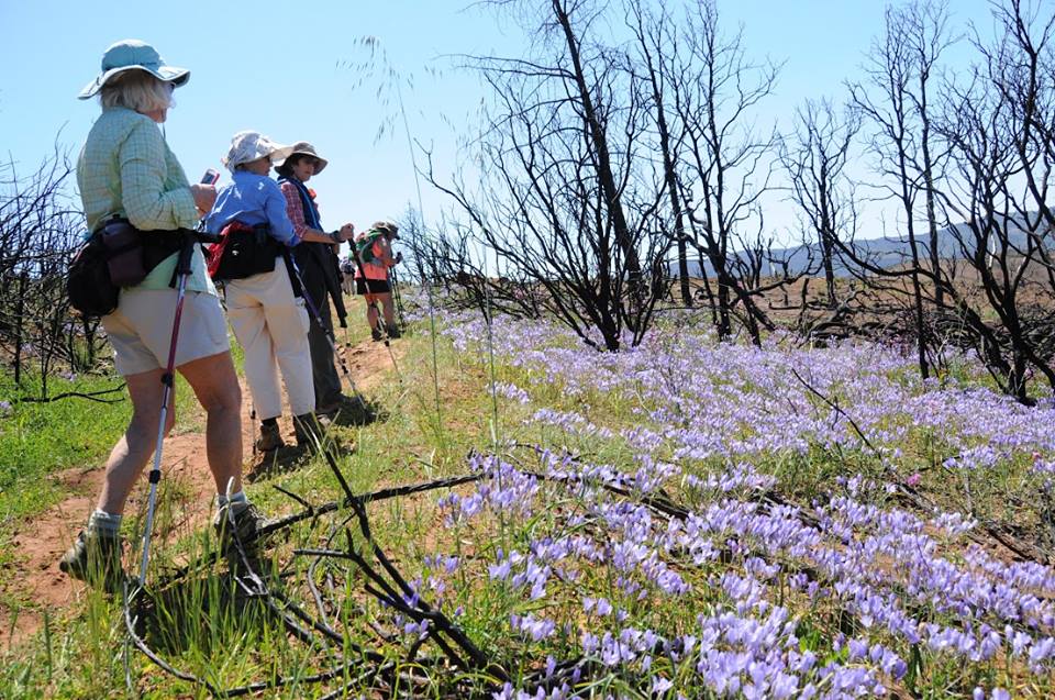
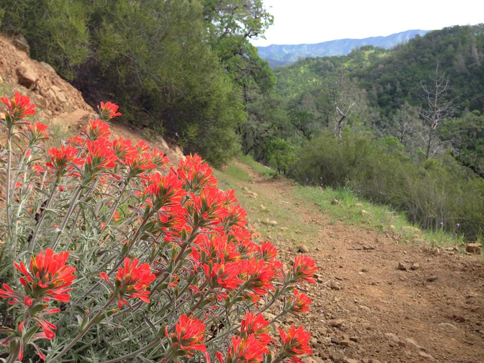
The trail will climb until it intersects with an old fire road. You follow this old fire road all the way to Cache Creek. The hike is very open and the views are fabulous. As you look down the trail, you are looking toward the Wilson Valley area. This area is the heart of the Cache Creek Wilderness study area. Along the way, there are several oak groves at which to stop, relax and have a snack.
NOTE: Cache Creek is impassable during high water, so the creek marks the end of this trail. If the water is low enough, you can get to the Wilson Valley and continue on to the Redbud Trail.
Distance: 10 miles round trip from the Highway 20 trailhead to Cache Creek and back. Total elevation gain of 1280. (If you are doing this as a backpack trip, it is another 6.25 miles to theRedbud trailhead parking area from Cache Creek, which would make for a 12.5 mile round trip).
LA CAMINATA
La caminata comienza en el área de estacionamiento, y el sendero pasa por los postes a la derecha. El sendero es paralelo a la autopista 20 por un momento, luego gira bruscamente a la izquierda y vuelve a subir por el cañón. Ya que este también es el comienzo del sendero Cache Creek Ridge Trail, asegúrese de tomar el sendero a la derecha y no el camino de incendios detrás de las instalaciones de baños. La caminata es muy abierta y las vistas son fabulosas.
El sendero subirá hasta que se cruce con un antiguo camino de incendios. Siga este antiguo camino de incendios hasta Cache Creek. Al mirar por el sendero, estará mirando hacia el área de Wilson Valley. Esta área es el corazón del área de estudio de Cache Creek Wilderness. En el camino, hay varios robledales en los que puede detenerse, relajarse y tomar un bocadillo.
NOTA: Cache Creek es intransitable durante la temporada de alta agua, por lo que el arroyo marca el final de este sendero. Si el agua está lo suficientemente baja, puede llegar al valle de Wilson y continuar hasta el sendero Redbud.
Distancia: 10 millas de ida y vuelta desde el comienzo del sendero autopista 20 hasta Cache Creek y viceversa. Ganancia de elevación total de 1280. (Si está haciendo esto como un viaje de mochila, son otras 6.25 millas hasta el área de estacionamiento del comienzo del sendero Redbud desde Cache Creek, lo que sería un viaje de ida y vuelta de 12.5 millas).
Availability
- Fitness: moderate
- Visible Signage:
- Parking:
- Horses:
- Pets:
- Restrooms:
- Mountain Biking:
- Overnight Camping:


