Tuleyome acquired this 70-acre property in 2010 to protect the Cold Canyon Headwaters above the Stebbins Cold Canyon Reserve south of Highway 128 near the Monticello Dam. Situated in Solano County, the property abuts the UC Reserve to the north and Bureau of Land Management properties on the east and west.
The UC Davis Stebbins Cold Canyon Reserve, set in a steep canyon of the northern California Coast Range, showcases the impressive landscapes, human history, and plant and animal communities of the region. The reserve has a mix of undisturbed habitats, including grasslands, blue oak woodland, chaparral shrub-lands, riparian woodland, and a seasonal stream. The University maintains the reserve primarily as a site for teaching and research activities, but it is also open to the public.
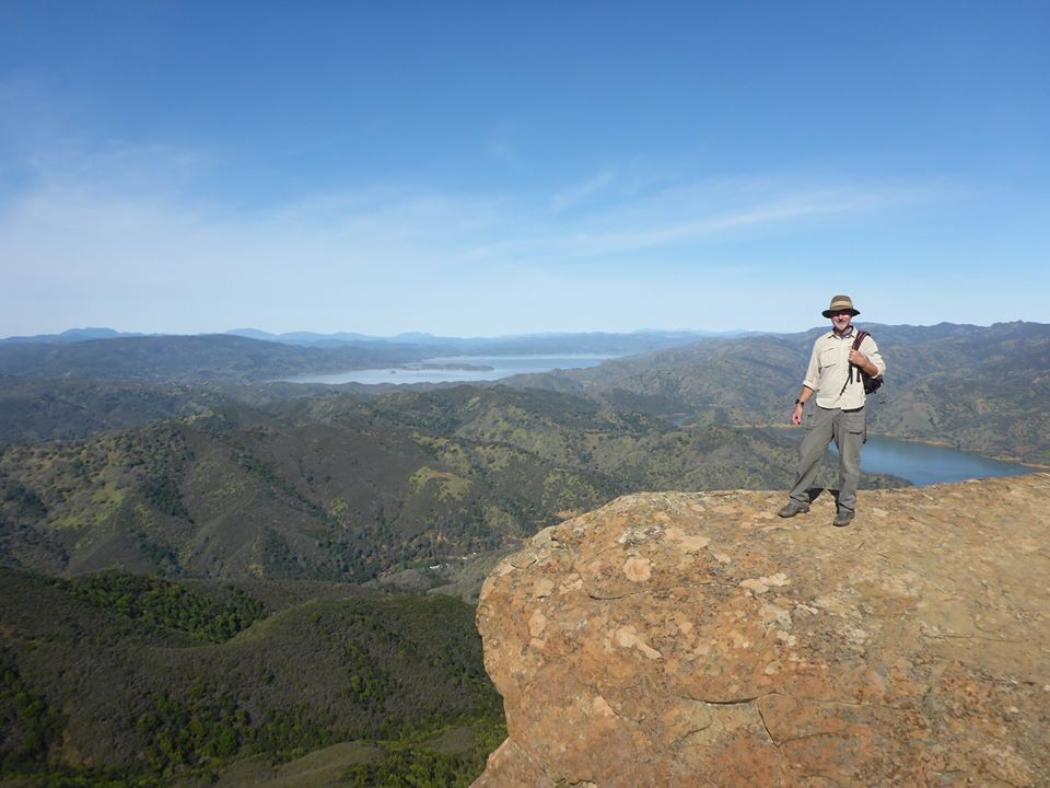
After purchasing the property, Tuleyome constructed the 2.5 mile “Annie’s Trail” which extends the original 5-mile Stebbins Cold Canyon loop trail maintained by the University. “Annie’s Rock” is a key viewpoint on this trail and includes views of Mount Saint Helena (with flanks in Napa, Sonoma, and Lake Counties), Cobb Mountain (the tallest mountain in California’s Mayacamas Mountains with its summit in Lake County), and Mount Konocti (on the south shore of Clear Lake). Seen 100 mile to the north, is Snow Mountain which anchors the northern end of the Berryessa Snow Mountain National Monument (established in July of 2015). Tuleyome spearheaded the campaign that resulted in a national monument designation for the 330,000+ acre Berryessa Snow Mountain region.
#DonateToRestore
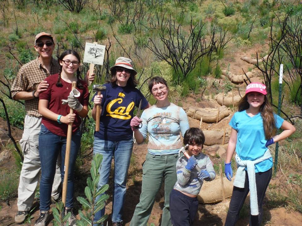
In the wake of the wildfires of 2015 and 2016, Tuleyome volunteers put in hundreds of hours to help restore the Stebbins Cold Canyon area.


